IMAGES TAKEN NEAR TO
Craddock Way, GILLINGHAM, ME8 9QQ
Introduction
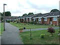
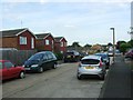
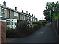
This page details the photographs taken nearby to Craddock Way, ME8 9QQ by members of the Geograph project.
The Geograph project started in 2005 with the aim of publishing, organising and preserving representative images for every square kilometre of Great Britain, Ireland and the Isle of Man.

There are currently over 7.5m images from over14,400 individuals and you can help contribute to the project by visiting https://www.geograph.org.uk
Image Map
Images are licensed for reuse under creativecommons.org/licenses/by-sa/2.0
Notes
- Clicking on the map will re-center to the selected point.
- The higher the marker number, the further away the image location is from the centre of the postcode.
Image Listing (48 Images Found)
Images are licensed for reuse under creativecommons.org/licenses/by-sa/2.0
Image
Details
Distance
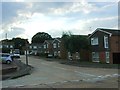
8
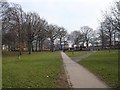
Parkwood Green
Recreational green space including children's play area, immediately south of the car park, community hall and health centre.
Image: © Penny Mayes
Taken: 15 Mar 2006
0.08 miles