IMAGES TAKEN NEAR TO
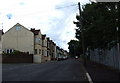
Rosebery Road, GILLINGHAM, ME7 1QQ
Introduction
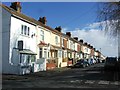
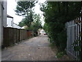
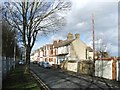
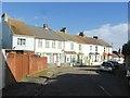
This page details the photographs taken nearby to Rosebery Road, ME7 1QQ by members of the Geograph project.
The Geograph project started in 2005 with the aim of publishing, organising and preserving representative images for every square kilometre of Great Britain, Ireland and the Isle of Man.

There are currently over 7.5m images from over14,400 individuals and you can help contribute to the project by visiting https://www.geograph.org.uk
Image Map
Images are licensed for reuse under creativecommons.org/licenses/by-sa/2.0
Notes
- Clicking on the map will re-center to the selected point.
- The higher the marker number, the further away the image location is from the centre of the postcode.
Image Listing (187 Images Found)
Images are licensed for reuse under creativecommons.org/licenses/by-sa/2.0
Image
Details
Distance
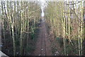
7
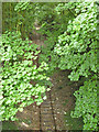
Chatham Dockyard Branch
Clearly this has not been used for a long time, but appears to be intact, 'just in case' presumably. Looking from the Burnt Oak Terrace bridge.
Image: © Robin Webster
Taken: 23 Jun 2012
0.05 miles