IMAGES TAKEN NEAR TO
Holborough Road, SNODLAND, ME6 5PL
Introduction
This page details the photographs taken nearby to Holborough Road, ME6 5PL by members of the Geograph project.
The Geograph project started in 2005 with the aim of publishing, organising and preserving representative images for every square kilometre of Great Britain, Ireland and the Isle of Man.

There are currently over 7.5m images from over14,400 individuals and you can help contribute to the project by visiting https://www.geograph.org.uk
Image Map
Images are licensed for reuse under creativecommons.org/licenses/by-sa/2.0
Notes
- Clicking on the map will re-center to the selected point.
- The higher the marker number, the further away the image location is from the centre of the postcode.
Image Listing (36 Images Found)
Images are licensed for reuse under creativecommons.org/licenses/by-sa/2.0
Image
Details
Distance
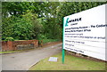
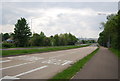
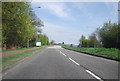


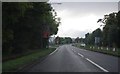
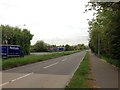
6

Roundabout on A228 Halling By-Pass
Crosses over small uncompleted railway belong to Lafarge Cement Works. Roundabout provides access road down to railway. A228 heading left heads to Halling, from Snodland.
Image: © David Anstiss
Taken: 12 Dec 2008
0.06 miles