IMAGES TAKEN NEAR TO
Courtfield Avenue, CHATHAM, ME5 8QR
Introduction
This page details the photographs taken nearby to Courtfield Avenue, ME5 8QR by members of the Geograph project.
The Geograph project started in 2005 with the aim of publishing, organising and preserving representative images for every square kilometre of Great Britain, Ireland and the Isle of Man.

There are currently over 7.5m images from over14,400 individuals and you can help contribute to the project by visiting https://www.geograph.org.uk
Image Map
Images are licensed for reuse under creativecommons.org/licenses/by-sa/2.0
Notes
- Clicking on the map will re-center to the selected point.
- The higher the marker number, the further away the image location is from the centre of the postcode.
Image Listing (40 Images Found)
Images are licensed for reuse under creativecommons.org/licenses/by-sa/2.0
Image
Details
Distance
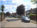
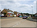
3
Hatton Road leading to Ballen's Rough
From Ballens Road. Also leads to small allotments on right and footpath to underpass under North Danes Way.
Image: © David Anstiss
Taken: 11 Nov 2008
0.14 miles
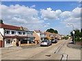
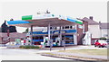
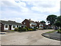
9
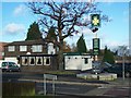
The Victoria Cross Public House, Lords Wood
Also Lal Akash Indian Restaurant.
On junction of Lords Wood lane and Falconi Road.
Image: © David Anstiss
Taken: 11 Nov 2008
0.16 miles
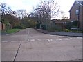
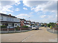
10
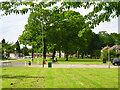
Green strip along Lordswood Lane
Looking across Lynton Drive.
Image: © Robin Webster
Taken: 25 Jun 2012
0.16 miles