IMAGES TAKEN NEAR TO
Snodhurst Avenue, CHATHAM, ME5 0TP
Introduction
This page details the photographs taken nearby to Snodhurst Avenue, ME5 0TP by members of the Geograph project.
The Geograph project started in 2005 with the aim of publishing, organising and preserving representative images for every square kilometre of Great Britain, Ireland and the Isle of Man.

There are currently over 7.5m images from over14,400 individuals and you can help contribute to the project by visiting https://www.geograph.org.uk
Image Map
Images are licensed for reuse under creativecommons.org/licenses/by-sa/2.0
Notes
- Clicking on the map will re-center to the selected point.
- The higher the marker number, the further away the image location is from the centre of the postcode.
Image Listing (38 Images Found)
Images are licensed for reuse under creativecommons.org/licenses/by-sa/2.0
Image
Details
Distance
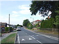
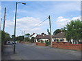
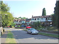
2
Brake Avenue, Walderslade
This road is named after W.H. Brake, who bought the Walderslade estate in the 19th century and began to sell the land as building plots.
Image: © Chris Whippet
Taken: 16 Jul 2014
0.04 miles
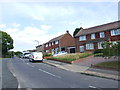
5
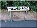
Vintage street nameplate, Holland Road, Chatham
Image: © Chris Whippet
Taken: 22 Jul 2014
0.08 miles
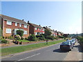
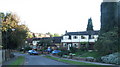
6
Hurstwood, Rochester
The name of the road.
Image: © Robin Webster
Taken: 25 Jun 2012
0.09 miles
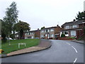
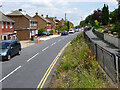
10
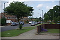
Looking down King George Road, Chatham
Taken in 2009 compare with photo of same area taken in winter of 1958 http://www.geograph.org.uk/photo/3584414
Image: © Martin Coull
Taken: 14 Jun 2009
0.10 miles