IMAGES TAKEN NEAR TO
Post Barn Road, CHATHAM, ME4 5TG
Introduction
This page details the photographs taken nearby to Post Barn Road, ME4 5TG by members of the Geograph project.
The Geograph project started in 2005 with the aim of publishing, organising and preserving representative images for every square kilometre of Great Britain, Ireland and the Isle of Man.

There are currently over 7.5m images from over14,400 individuals and you can help contribute to the project by visiting https://www.geograph.org.uk
Image Map
Images are licensed for reuse under creativecommons.org/licenses/by-sa/2.0
Notes
- Clicking on the map will re-center to the selected point.
- The higher the marker number, the further away the image location is from the centre of the postcode.
Image Listing (64 Images Found)
Images are licensed for reuse under creativecommons.org/licenses/by-sa/2.0
Image
Details
Distance
2
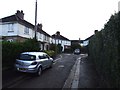
White Road, Chatham
This, and the surrounding roads, are known as the White Road Estate. It has a reputation for being on the rough side but I'm not certain it's any worse than your average social housing estate really.
Image: © Danny P Robinson
Taken: 24 Feb 2008
0.04 miles
8
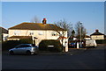
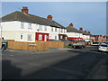
Semi detached house, White Rd & Keyes Av.
Image: © N Chadwick
Taken: 31 Jan 2009
0.08 miles
9
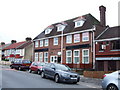
The Ordinary Fellow, Chatham
This pub has now been converted into flats.
Image: © Chris Whippet
Taken: 18 Nov 2009
0.09 miles