IMAGES TAKEN NEAR TO
Whitehall Drive, MAIDSTONE, ME17 3PG
Introduction
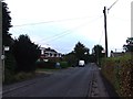
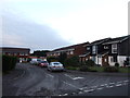
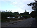
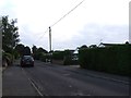
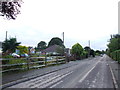
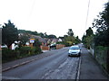
This page details the photographs taken nearby to Whitehall Drive, ME17 3PG by members of the Geograph project.
The Geograph project started in 2005 with the aim of publishing, organising and preserving representative images for every square kilometre of Great Britain, Ireland and the Isle of Man.

There are currently over 7.5m images from over14,400 individuals and you can help contribute to the project by visiting https://www.geograph.org.uk
Image Map (8 Images)


Leaflet Map data © OpenStreetMap
Images are licensed for reuse under creativecommons.org/licenses/by-sa/2.0
Notes
- Clicking on the map will re-center to the selected point.
- The higher the marker number, the further away the image location is from the centre of the postcode.
Image Listing (8 Images Found)
Images are licensed for reuse under creativecommons.org/licenses/by-sa/2.0
Image
Details
Distance
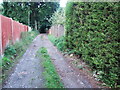
5
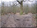
Footpath junction in Kings Wood
A footpath from Broomfield Road leads straight (following 4x4 tracks) through wood to Chegworth Road. A path also leads right to Charlesworth Avenue.
An un-official path also leads right to a path to Broomfield Road, near Roses Farm
Image: © David Anstiss
Taken: 24 Feb 2009
0.19 miles