IMAGES TAKEN NEAR TO
Lincoln Road, MAIDSTONE, ME15 7JH
Introduction
This page details the photographs taken nearby to Lincoln Road, ME15 7JH by members of the Geograph project.
The Geograph project started in 2005 with the aim of publishing, organising and preserving representative images for every square kilometre of Great Britain, Ireland and the Isle of Man.

There are currently over 7.5m images from over14,400 individuals and you can help contribute to the project by visiting https://www.geograph.org.uk
Image Map
Images are licensed for reuse under creativecommons.org/licenses/by-sa/2.0
Notes
- Clicking on the map will re-center to the selected point.
- The higher the marker number, the further away the image location is from the centre of the postcode.
Image Listing (48 Images Found)
Images are licensed for reuse under creativecommons.org/licenses/by-sa/2.0
Image
Details
Distance
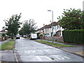
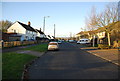
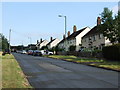
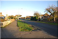
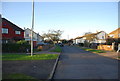
8

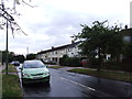
Part of the Shepway Estate in Maidstone
Looking north across the large green at the centre of the huge 1950's Shepway housing estate. The original pub has recently been replaced by a large block of flats.
Image: © David Rayner
Taken: 24 Dec 2005
0.10 miles