IMAGES TAKEN NEAR TO
Kerry Hill Way, MAIDSTONE, ME14 2GZ
Introduction
This page details the photographs taken nearby to Kerry Hill Way, ME14 2GZ by members of the Geograph project.
The Geograph project started in 2005 with the aim of publishing, organising and preserving representative images for every square kilometre of Great Britain, Ireland and the Isle of Man.

There are currently over 7.5m images from over14,400 individuals and you can help contribute to the project by visiting https://www.geograph.org.uk
Image Map
Images are licensed for reuse under creativecommons.org/licenses/by-sa/2.0
Notes
- Clicking on the map will re-center to the selected point.
- The higher the marker number, the further away the image location is from the centre of the postcode.
Image Listing (80 Images Found)
Images are licensed for reuse under creativecommons.org/licenses/by-sa/2.0
Image
Details
Distance
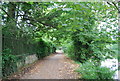
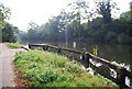
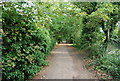
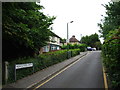
4
Medway Valley Walk on the left, Millennium Walk on the right
Image: © N Chadwick
Taken: 19 Sep 2009
0.05 miles
5
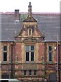
Springfield Mansion, Maidstone
Currently undergoing refurbishment, it has housed offices of Kent County Education Department for many years and the county library was first established in the cellar in 1921.
Image: © Penny Mayes
Taken: 15 May 2006
0.05 miles
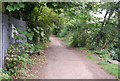
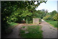
8
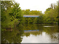
River Medway, Footbridge at Whatman Park
Image: © David Dixon
Taken: 14 May 2013
0.06 miles