IMAGES TAKEN NEAR TO
Castle Avenue, ROCHESTER, ME1 2DU
Introduction
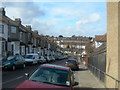
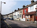
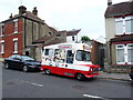
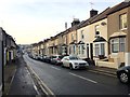
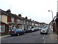
This page details the photographs taken nearby to Castle Avenue, ME1 2DU by members of the Geograph project.
The Geograph project started in 2005 with the aim of publishing, organising and preserving representative images for every square kilometre of Great Britain, Ireland and the Isle of Man.

There are currently over 7.5m images from over14,400 individuals and you can help contribute to the project by visiting https://www.geograph.org.uk
Image Map
Images are licensed for reuse under creativecommons.org/licenses/by-sa/2.0
Notes
- Clicking on the map will re-center to the selected point.
- The higher the marker number, the further away the image location is from the centre of the postcode.
Image Listing (163 Images Found)
Images are licensed for reuse under creativecommons.org/licenses/by-sa/2.0
Image
Details
Distance
2
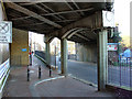
Railway Bridge, Rochester
Railway bridge carrying the former South Eastern & Chatham Railway over Rochester High Street, looking west.
Image: © Dave Bushell
Taken: 4 Nov 2004
0.05 miles