IMAGES TAKEN NEAR TO
Bent Lanes, MANCHESTER, M41 8NY
Introduction
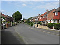
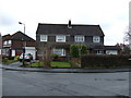
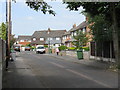
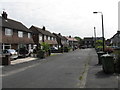
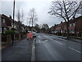
This page details the photographs taken nearby to Bent Lanes, M41 8NY by members of the Geograph project.
The Geograph project started in 2005 with the aim of publishing, organising and preserving representative images for every square kilometre of Great Britain, Ireland and the Isle of Man.

There are currently over 7.5m images from over14,400 individuals and you can help contribute to the project by visiting https://www.geograph.org.uk
Image Map
Images are licensed for reuse under creativecommons.org/licenses/by-sa/2.0
Notes
- Clicking on the map will re-center to the selected point.
- The higher the marker number, the further away the image location is from the centre of the postcode.
Image Listing (18 Images Found)
Images are licensed for reuse under creativecommons.org/licenses/by-sa/2.0
Image
Details
Distance
7
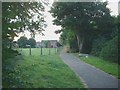
Footpath and Play area
This image shows the public footpath that runs on to Bent Lane and a small play area (small field and a couple of swings). The wooded area to the right hides Davyhulme Waste Water Treatment plant.
Image: © Dave Smethurst
Taken: 16 Aug 2005
0.10 miles