IMAGES TAKEN NEAR TO
Hampson Street, MANCHESTER, M30 8GG
Introduction
This page details the photographs taken nearby to Hampson Street, M30 8GG by members of the Geograph project.
The Geograph project started in 2005 with the aim of publishing, organising and preserving representative images for every square kilometre of Great Britain, Ireland and the Isle of Man.

There are currently over 7.5m images from over14,400 individuals and you can help contribute to the project by visiting https://www.geograph.org.uk
Image Map
Images are licensed for reuse under creativecommons.org/licenses/by-sa/2.0
Notes
- Clicking on the map will re-center to the selected point.
- The higher the marker number, the further away the image location is from the centre of the postcode.
Image Listing (50 Images Found)
Images are licensed for reuse under creativecommons.org/licenses/by-sa/2.0
Image
Details
Distance
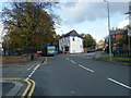
7
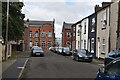
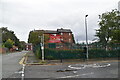
Avondale Nursing Home
Is this shut down permanently or is it being refurbished?
Image: © Bill Boaden
Taken: 5 Apr 2018
0.09 miles
9
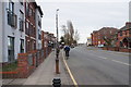
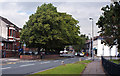
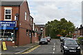
Liverpool Road, Patricroft
The A57 is climbing steadily towards the crossing of the Bridgewater Canal.
Image: © Bill Boaden
Taken: 5 Apr 2018
0.09 miles