IMAGES TAKEN NEAR TO
Tudor Court, MANCHESTER, M25 0EP
Introduction
This page details the photographs taken nearby to Tudor Court, M25 0EP by members of the Geograph project.
The Geograph project started in 2005 with the aim of publishing, organising and preserving representative images for every square kilometre of Great Britain, Ireland and the Isle of Man.

There are currently over 7.5m images from over14,400 individuals and you can help contribute to the project by visiting https://www.geograph.org.uk
Image Map
Images are licensed for reuse under creativecommons.org/licenses/by-sa/2.0
Notes
- Clicking on the map will re-center to the selected point.
- The higher the marker number, the further away the image location is from the centre of the postcode.
Image Listing (10 Images Found)
Images are licensed for reuse under creativecommons.org/licenses/by-sa/2.0
Image
Details
Distance
3
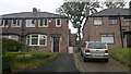
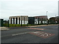
60 Bannerman Avenue, Prestwich
Number 60 Bannerman Avenue is a semi-detached property in Prestwich, in the Metropolitan Borough of Bury, Greater Manchester, England.
Image: © Steven Haslington
Taken: 27 Aug 2012
0.18 miles

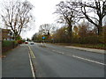
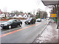
7
Junction of Scholes Walk, Hope Park Road, Scholes Lane
View of this junction and looking east along Scholes Lane
Image: © Ivor Josephson
Taken: 26 Apr 2020
0.21 miles
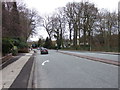
10
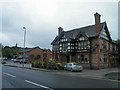
The Friendship Inn, Scholes Lane Prestwich
Image: © Steve Fareham
Taken: 26 May 2011
0.24 miles