
IMAGES TAKEN NEAR TO
Montague Avenue, LUTON, LU4 9JG
Introduction
This page details the photographs taken nearby to Montague Avenue, LU4 9JG by members of the Geograph project.
The Geograph project started in 2005 with the aim of publishing, organising and preserving representative images for every square kilometre of Great Britain, Ireland and the Isle of Man.

There are currently over 7.5m images from over14,400 individuals and you can help contribute to the project by visiting https://www.geograph.org.uk
Image Map
Images are licensed for reuse under creativecommons.org/licenses/by-sa/2.0
Notes
- Clicking on the map will re-center to the selected point.
- The higher the marker number, the further away the image location is from the centre of the postcode.
Image Listing (14 Images Found)
Images are licensed for reuse under creativecommons.org/licenses/by-sa/2.0
Image
Details
Distance
1
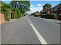
Luton: Montague Avenue, Leagrave
Locals use this road as a short cut from the Hockwell Ring area to Toddington Road.
Image: © Raymond Cubberley
Taken: 29 Jul 2012
0.05 miles
2
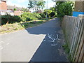
Luton: Foot and cycle path
This path links Montague Avenue with Toddington Road, in the Leagrave area of Luton, Bedfordshire.
Image: © Raymond Cubberley
Taken: 29 Jul 2012
0.08 miles
3
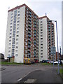
Luton: Acworth Court, Leagrave
One of the massive blocks of flats that dominate the skyline and are visible from the M1 Motorway.
Image: © Nigel Cox
Taken: 5 Jan 2006
0.13 miles
4
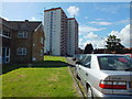
Luton: Acworth Court, Leagrave
These multi-storey block of flats are visible from many parts of western Luton.
Image: © Raymond Cubberley
Taken: 29 Jul 2012
0.13 miles
5
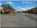
Luton: Pirton Road, Leagrave
Many houses on this road are ex-council homes.
Image: © Raymond Cubberley
Taken: 29 Jul 2012
0.19 miles
6
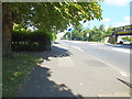
Luton: Toddington Road, mini roundabout , Leagrave
Used to be just a junction, but too much traffic caused many hours of jams at the intersection. Traffic now flows freely.
Image: © Raymond Cubberley
Taken: 29 Jul 2012
0.20 miles
7
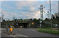
Bridge under the railway by Sundon Park Road, Luton
Image: © David Howard
Taken: 6 Sep 2020
0.20 miles
8
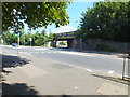
Luton: Toddington Road Railway Bridge, Leagrave
This very busy bridge links Toddington Road with Sundon Park Road. Many high vehicles have in the past closed this bridge owing to not reading the height signs.
Image: © Raymond Cubberley
Taken: 29 Jul 2012
0.21 miles
9
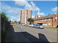
Luton: Acworth Crescent, Leagrave
The skyline is dominated by the Luton Borough Council high-rise flats. Eight blocks are situated in the Leagrave area, of which four are visible here.
Image: © Raymond Cubberley
Taken: 29 Jul 2012
0.21 miles
10

Luton: Sundon Park Road railway bridge, Leagrave
Evidently despairing of drivers of high vehicles ignoring the standard road warning sign and clouting their bridge Network Rail have resorted to spelling it out in large letters here. The clearance is 4.2 metres or 13' 9" by the way. The road under the railway links Sundon Park Road with Toddington Road here. In the meantime an up Midlands train crosses the bridge on its approach to Leagrave station.
Image: © Nigel Cox
Taken: 2 May 2012
0.21 miles