IMAGES TAKEN NEAR TO
Hillbrook Rise, ILKLEY, LS29 9QB
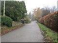
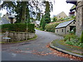
Introduction
This page details the photographs taken nearby to Hillbrook Rise, LS29 9QB by members of the Geograph project.
The Geograph project started in 2005 with the aim of publishing, organising and preserving representative images for every square kilometre of Great Britain, Ireland and the Isle of Man.

There are currently over 7.5m images from over14,400 individuals and you can help contribute to the project by visiting https://www.geograph.org.uk
Image Map
Images are licensed for reuse under creativecommons.org/licenses/by-sa/2.0
Notes
- Clicking on the map will re-center to the selected point.
- The higher the marker number, the further away the image location is from the centre of the postcode.
Image Listing (48 Images Found)
Images are licensed for reuse under creativecommons.org/licenses/by-sa/2.0
Image
Details
Distance
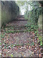
1
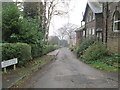
Upper Parish Ghyll Lane - Queen's Drive
Image: © Betty Longbottom
Taken: 10 Nov 2014
0.05 miles
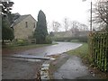
2
Pinewood Close - Queen's Drive Lane
Image: © Betty Longbottom
Taken: 10 Nov 2014
0.06 miles
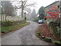
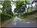
3
Queen's Drive Lane - looking towards Queen's Road
Image: © Betty Longbottom
Taken: 10 Nov 2014
0.07 miles
4
Upper Parish Ghyll Lane - Parish Ghyll Lane
Image: © Betty Longbottom
Taken: 10 Nov 2014
0.09 miles
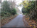
7
Westwood Drive east of Moorlands, Ilkley
Image: © Alexander P Kapp
Taken: 23 Sep 2010
0.11 miles
8
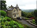
North of Westwood Drive, Ilkley
With westwards view along Wharfedale
Image: © Neil Theasby
Taken: 14 Sep 2015
0.12 miles
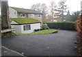
10
Moorlands off Westwood Drive, Ilkley
Image: © Alexander P Kapp
Taken: 23 Sep 2010
0.12 miles