IMAGES TAKEN NEAR TO
Norton Way, LEEDS, LS27 9TB
Introduction
This page details the photographs taken nearby to Norton Way, LS27 9TB by members of the Geograph project.
The Geograph project started in 2005 with the aim of publishing, organising and preserving representative images for every square kilometre of Great Britain, Ireland and the Isle of Man.

There are currently over 7.5m images from over14,400 individuals and you can help contribute to the project by visiting https://www.geograph.org.uk
Image Map (Loading...)


Getting Data...Please wait
Leaflet Map data © OpenStreetMap
Images are licensed for reuse under creativecommons.org/licenses/by-sa/2.0
Notes
- Clicking on the map will re-center to the selected point.
- The higher the marker number, the further away the image location is from the centre of the postcode.
Image Listing (84 Images Found)
Images are licensed for reuse under creativecommons.org/licenses/by-sa/2.0
Image
Details
Distance
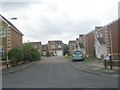
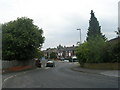
2
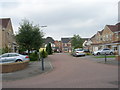
Hargreaves Close - Springfield Road
Image: © Betty Longbottom
Taken: 1 Aug 2011
0.04 miles
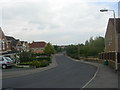
3
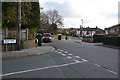
Springfield Road - viewed from Lister Walk
Image: © Betty Longbottom
Taken: 1 Aug 2011
0.05 miles
5

Springfield Road - viewed from Lister Walk
Image: © Betty Longbottom
Taken: 1 Aug 2011
0.06 miles
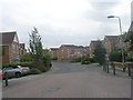
6
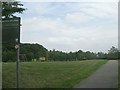
Springfield Mill Park - viewed from Hargeaves Close
Image: © Betty Longbottom
Taken: 1 Aug 2011
0.07 miles
7
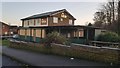
The Arkle
Pub built in the 60's named after the racehorse named after the hill. Now closed and due for demolition to make way for housing.
Image: © Steve Partridge
Taken: 30 Nov 2019
0.07 miles
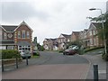
10
Springfield Avenue - viewed from Woodlands Drive
Image: © Betty Longbottom
Taken: 1 Aug 2011
0.08 miles