IMAGES TAKEN NEAR TO
Victoria Road, LEEDS, LS27 9DS
Introduction
This page details the photographs taken nearby to Victoria Road, LS27 9DS by members of the Geograph project.
The Geograph project started in 2005 with the aim of publishing, organising and preserving representative images for every square kilometre of Great Britain, Ireland and the Isle of Man.

There are currently over 7.5m images from over14,400 individuals and you can help contribute to the project by visiting https://www.geograph.org.uk
Image Map
Images are licensed for reuse under creativecommons.org/licenses/by-sa/2.0
Notes
- Clicking on the map will re-center to the selected point.
- The higher the marker number, the further away the image location is from the centre of the postcode.
Image Listing (206 Images Found)
Images are licensed for reuse under creativecommons.org/licenses/by-sa/2.0
Image
Details
Distance
1
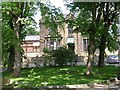
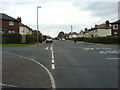
Victoria Grove Way - Victoria Road
Image: © Betty Longbottom
Taken: 21 Sep 2009
0.02 miles
2

Victoria Grange Way - Victoria Road
Image: © Betty Longbottom
Taken: 3 Oct 2011
0.03 miles
3
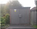
Electricity Substation No 7421 - Victoria Road
Image: © Betty Longbottom
Taken: 3 Oct 2011
0.04 miles
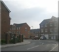
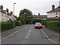
4

Providence Court - Victoria Grange Way
Image: © Betty Longbottom
Taken: 3 Oct 2011
0.04 miles
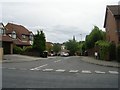
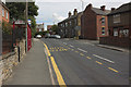
6
Ingle Avenue, Morley.
1920's corporation housing. Showing the junction with Ingle Grove.
Image: © Steve Partridge
Taken: 27 Sep 2006
0.05 miles
9
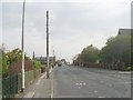
Victoria Road - viewed from Prospect Place
Image: © Betty Longbottom
Taken: 3 Oct 2011
0.07 miles