IMAGES TAKEN NEAR TO
Church Avenue, LEEDS, LS27 7BU
Introduction
This page details the photographs taken nearby to Church Avenue, LS27 7BU by members of the Geograph project.
The Geograph project started in 2005 with the aim of publishing, organising and preserving representative images for every square kilometre of Great Britain, Ireland and the Isle of Man.

There are currently over 7.5m images from over14,400 individuals and you can help contribute to the project by visiting https://www.geograph.org.uk
Image Map (Loading...)


Getting Data...Please wait
Leaflet Map data © OpenStreetMap
Images are licensed for reuse under creativecommons.org/licenses/by-sa/2.0
Notes
- Clicking on the map will re-center to the selected point.
- The higher the marker number, the further away the image location is from the centre of the postcode.
Image Listing (105 Images Found)
Images are licensed for reuse under creativecommons.org/licenses/by-sa/2.0
Image
Details
Distance

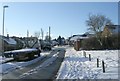
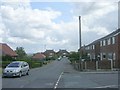
2
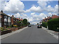
Spring Avenue - viewed from Church Avenue
Image: © Betty Longbottom
Taken: 11 Jun 2011
0.07 miles
5
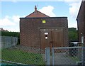
Electricity Substation No 2406 - Springbank Crescent
Image: © Betty Longbottom
Taken: 11 Jun 2011
0.07 miles
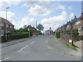
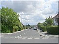
6
Scott Green Crescent - Moorland Avenue
Image: © Betty Longbottom
Taken: 7 Feb 2009
0.07 miles
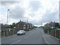
9
Springbank Crescent - Springbank Road
Image: © Betty Longbottom
Taken: 11 Jun 2011
0.09 miles
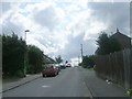
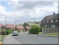
10
Springbank Road - viewed from Spring Avenue
Image: © Betty Longbottom
Taken: 11 Jun 2011
0.09 miles