
IMAGES TAKEN NEAR TO
Main Street, TADCASTER, LS24 9EE
Introduction
This page details the photographs taken nearby to Main Street, LS24 9EE by members of the Geograph project.
The Geograph project started in 2005 with the aim of publishing, organising and preserving representative images for every square kilometre of Great Britain, Ireland and the Isle of Man.

There are currently over 7.5m images from over14,400 individuals and you can help contribute to the project by visiting https://www.geograph.org.uk
Image Map
Images are licensed for reuse under creativecommons.org/licenses/by-sa/2.0
Notes
- Clicking on the map will re-center to the selected point.
- The higher the marker number, the further away the image location is from the centre of the postcode.
Image Listing (32 Images Found)
Images are licensed for reuse under creativecommons.org/licenses/by-sa/2.0
Image
Details
Distance
1
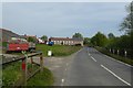
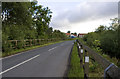
Passing Manor Farm
Looking towards the village of Ryther.
Image: © DS Pugh
Taken: 30 Apr 2017
0.03 miles
3
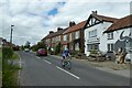
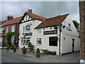
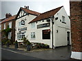
The Rhythre Arms
Looking along Main Street in Ryther.
Image: © DS Pugh
Taken: 13 Jun 2021
0.03 miles
4
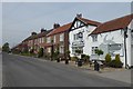
The Rythre Arms
With its Cow Park opposite.
Image: © DS Pugh
Taken: 30 Apr 2017
0.03 miles
8
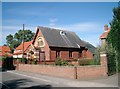
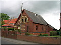
The Methodist Church, Ryther
The church is on Main Street in Ryther.
Image: © John Davidson
Taken: 17 Sep 2005
0.09 miles
9
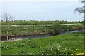
Wharfe passing Ryther
Looking towards the River Wharfe on the northern edge of the village.
Image: © DS Pugh
Taken: 30 Apr 2017
0.10 miles
10
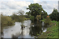
River Wharfe in Ryther
The river is only a couple of miles from Wharfe Mouth at this point in its journey - where it joins the Ouse.
After heavy rain the river has burst its banks, and is over twice as wide than in normal conditions.
The road between Ryther and Cawood was also closed due to flooding on the occasion of my visit.
Image: © Chris Heaton
Taken: 5 Oct 2019
0.11 miles