
IMAGES TAKEN NEAR TO
Kearby, WETHERBY, LS22 4BY
Introduction
This page details the photographs taken nearby to LS22 4BY by members of the Geograph project.
The Geograph project started in 2005 with the aim of publishing, organising and preserving representative images for every square kilometre of Great Britain, Ireland and the Isle of Man.

There are currently over 7.5m images from over14,400 individuals and you can help contribute to the project by visiting https://www.geograph.org.uk
Image Map
Images are licensed for reuse under creativecommons.org/licenses/by-sa/2.0
Notes
- Clicking on the map will re-center to the selected point.
- The higher the marker number, the further away the image location is from the centre of the postcode.
Image Listing (30 Images Found)
Images are licensed for reuse under creativecommons.org/licenses/by-sa/2.0
Image
Details
Distance
3
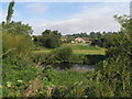
Netherby from the Ebor Way
The village viewed across the River Wharfe
Image: © John Slater
Taken: 6 Sep 2012
0.01 miles
4
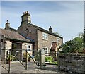
Ivy Cottage, Netherby
There is a benchmark cut into the far left, south-east face of the cottage. The mark is partially obscured by the planter which is underneath the letter box. The cutmark has been repositioned as it is now upside down.
Image: © Mel Towler
Taken: 3 May 2023
0.02 miles
5
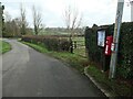
Communications centre, Wharfe Lane, Netherby
Image: © Christine Johnstone
Taken: 26 Nov 2020
0.02 miles
6
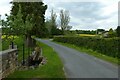
Stream beside the road
Looking up Kearby Cliff.
Image: © DS Pugh
Taken: 5 Jun 2021
0.03 miles
7
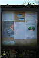
Notice Board, Netherby
The morning sun creates an inadvertent self-portrait in the glass.
Image: © Mark Anderson
Taken: 20 Apr 2010
0.03 miles
8
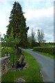
Channelled stream in Netherby
Looking up Kearby Cliff.
Image: © DS Pugh
Taken: 5 Jun 2021
0.04 miles
9
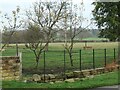
Water pump, Netherby
A pump is shown here on the large-scale OS map surveyed in 1888.
Image: © Christine Johnstone
Taken: 26 Nov 2020
0.04 miles
10
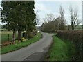
36 metre spot height at a Netherby road junction
Where Chapel Hill meets Wharfe Lane.
Image: © Christine Johnstone
Taken: 26 Nov 2020
0.04 miles