IMAGES TAKEN NEAR TO
The Canter, LEEDS, LS10 4TX
Introduction
This page details the photographs taken nearby to The Canter, LS10 4TX by members of the Geograph project.
The Geograph project started in 2005 with the aim of publishing, organising and preserving representative images for every square kilometre of Great Britain, Ireland and the Isle of Man.

There are currently over 7.5m images from over14,400 individuals and you can help contribute to the project by visiting https://www.geograph.org.uk
Image Map
Images are licensed for reuse under creativecommons.org/licenses/by-sa/2.0
Notes
- Clicking on the map will re-center to the selected point.
- The higher the marker number, the further away the image location is from the centre of the postcode.
Image Listing (71 Images Found)
Images are licensed for reuse under creativecommons.org/licenses/by-sa/2.0
Image
Details
Distance
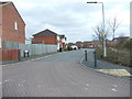
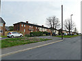
5
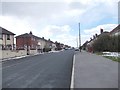
Looking back along Throstle Terrace
Image: © Betty Longbottom
Taken: 30 Mar 2013
0.08 miles
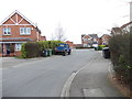

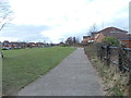
10
Houses on Throstle Road, Middleton
These houses would have been part of the original Middleton council estate of the 1920s/30s. The name comes from the nearby Throstle Carr Beck.
Image: © Stephen Craven
Taken: 10 Apr 2020
0.10 miles