
IMAGES TAKEN NEAR TO
The Laurels, LEEDS, LS10 4FJ
Introduction
This page details the photographs taken nearby to The Laurels, LS10 4FJ by members of the Geograph project.
The Geograph project started in 2005 with the aim of publishing, organising and preserving representative images for every square kilometre of Great Britain, Ireland and the Isle of Man.

There are currently over 7.5m images from over14,400 individuals and you can help contribute to the project by visiting https://www.geograph.org.uk
Image Map
Images are licensed for reuse under creativecommons.org/licenses/by-sa/2.0
Notes
- Clicking on the map will re-center to the selected point.
- The higher the marker number, the further away the image location is from the centre of the postcode.
Image Listing (71 Images Found)
Images are licensed for reuse under creativecommons.org/licenses/by-sa/2.0
Image
Details
Distance
1
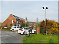
The Laurels, off St George's Road, Middleton
Part of the "New Forest Village" development.
Image: © Stephen Craven
Taken: 10 Apr 2020
0.01 miles
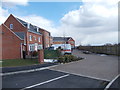
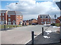
4
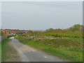
Path along the north side of Sharp Lane Plantations
Image: © Stephen Craven
Taken: 10 Apr 2020
0.03 miles
5
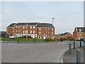
Twentyman Walk. New Forest Village, Middleton
Part of a large housing development. Image taken seven years earlier shows these houses just after completion.
Image: © Stephen Craven
Taken: 10 Apr 2020
0.03 miles
6
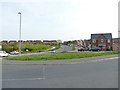
Junction of Throstle Road and St George's Road, Middleton
Throstle Road originally ended at the eastern boundary of the 1930s council estate, but has recently been extended eastwards to meet St George's Road, as part of the "New Forest Village" development.
Image: © Stephen Craven
Taken: 10 Apr 2020
0.04 miles
7
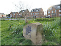
Oak stone, Sharp Lane Plantations
One of several such stones carved with illustrations of the leaves to be found in the park.
Image: © Stephen Craven
Taken: 10 Apr 2020
0.04 miles
8
Sharp Lane Plantations - St Georges Road
Part of a land reclamation scheme
Image: © Betty Longbottom
Taken: 30 Mar 2013
0.05 miles
9
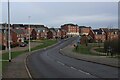
Recent Housing Development in Middleton, Leeds
Bit of a conundrum here. One map denotes this as St. George's Road, and another displays it as Towcester Avenue.
Image: © Chris Heaton
Taken: 28 Feb 2024
0.05 miles
10
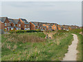
Path through Sharp Lane Plantations
This path represents a permanent diversion of an existing right of way that ran north-south through the area. The housing in this view is part of the recent "New Forest Village" estate.
Image: © Stephen Craven
Taken: 10 Apr 2020
0.06 miles