IMAGES TAKEN NEAR TO
Torrington Road, MARKET RASEN, LN8 6LT
Introduction
This page details the photographs taken nearby to Torrington Road, LN8 6LT by members of the Geograph project.
The Geograph project started in 2005 with the aim of publishing, organising and preserving representative images for every square kilometre of Great Britain, Ireland and the Isle of Man.

There are currently over 7.5m images from over14,400 individuals and you can help contribute to the project by visiting https://www.geograph.org.uk
Image Map
Images are licensed for reuse under creativecommons.org/licenses/by-sa/2.0
Notes
- Clicking on the map will re-center to the selected point.
- The higher the marker number, the further away the image location is from the centre of the postcode.
Image Listing (8 Images Found)
Images are licensed for reuse under creativecommons.org/licenses/by-sa/2.0
Image
Details
Distance
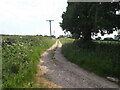
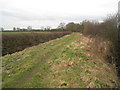
3
Clump Hill Farm from the Public Footpath
Image: © Ian Paterson
Taken: 11 Nov 2007
0.05 miles
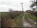
5
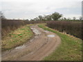
The bridleway to Croppersgorse Plantation
This section is used by wheeled traffic as an access to Clump Hill Farm.
Image: © Jonathan Thacker
Taken: 25 Feb 2011
0.13 miles
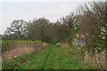
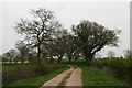
8
The bridleway to Collow
Clump Hill Farm is on the left.
Image: © Jonathan Thacker
Taken: 25 Feb 2011
0.24 miles