IMAGES TAKEN NEAR TO
Croxby Top, MARKET RASEN, LN7 6BN
Introduction
This page details the photographs taken nearby to LN7 6BN by members of the Geograph project.
The Geograph project started in 2005 with the aim of publishing, organising and preserving representative images for every square kilometre of Great Britain, Ireland and the Isle of Man.

There are currently over 7.5m images from over14,400 individuals and you can help contribute to the project by visiting https://www.geograph.org.uk
Image Map
Images are licensed for reuse under creativecommons.org/licenses/by-sa/2.0
Notes
- Clicking on the map will re-center to the selected point.
- The higher the marker number, the further away the image location is from the centre of the postcode.
Image Listing (32 Images Found)
Images are licensed for reuse under creativecommons.org/licenses/by-sa/2.0
Image
Details
Distance
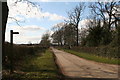
4
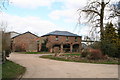
Minor road, Croxby Top
Heading north west past L'Ings Farm.
Image: © JThomas
Taken: 28 Aug 2015
0.03 miles
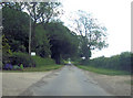
6
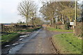
Road past Lings Farm at Croxby Top
Maps have "L'Ings farm"
Image: © J.Hannan-Briggs
Taken: 17 Jan 2015
0.03 miles
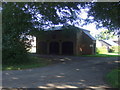
8

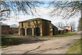
Lane at the entrance to Lings farm, Croxby Top
Looking south-eastward.
Image: © Peter Wood
Taken: 23 Feb 2019
0.04 miles
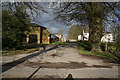
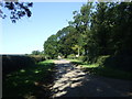
10
Footpath to Cuxwold
Through L'Ings Farm (right).
Image: © Chris
Taken: 1 Apr 2013
0.04 miles