IMAGES TAKEN NEAR TO
Ings Lane, MABLETHORPE, LN12 2RR
Introduction
This page details the photographs taken nearby to Ings Lane, LN12 2RR by members of the Geograph project.
The Geograph project started in 2005 with the aim of publishing, organising and preserving representative images for every square kilometre of Great Britain, Ireland and the Isle of Man.

There are currently over 7.5m images from over14,400 individuals and you can help contribute to the project by visiting https://www.geograph.org.uk
Image Map
Images are licensed for reuse under creativecommons.org/licenses/by-sa/2.0
Notes
- Clicking on the map will re-center to the selected point.
- The higher the marker number, the further away the image location is from the centre of the postcode.
Image Listing (15 Images Found)
Images are licensed for reuse under creativecommons.org/licenses/by-sa/2.0
Image
Details
Distance
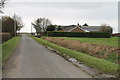
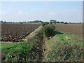
2
Ings Road
Heading south east near Ings Lane Farm.
Image: © JThomas
Taken: 11 Sep 2015
0.03 miles
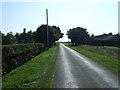
6
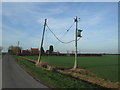
Transmission line near Ings Lane and Crabtree Lane junction
Image: © Richard Hoare
Taken: 24 Feb 2011
0.09 miles
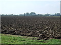
7
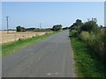
Crabtree Lane
Heading north east towards Sutton on Sea.
Image: © JThomas
Taken: 11 Sep 2015
0.15 miles
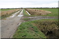
10
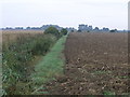
Path to Hannah
This well marked footpath leads to Hannah. Hannah is a place not a person, in this case.
Image: © Michael Patterson
Taken: 22 Aug 2006
0.17 miles