IMAGES TAKEN NEAR TO
Rhosmeirch, LLANGEFNI, LL77 7SQ
Introduction
This page details the photographs taken nearby to LL77 7SQ by members of the Geograph project.
The Geograph project started in 2005 with the aim of publishing, organising and preserving representative images for every square kilometre of Great Britain, Ireland and the Isle of Man.

There are currently over 7.5m images from over14,400 individuals and you can help contribute to the project by visiting https://www.geograph.org.uk
Image Map (5 Images)

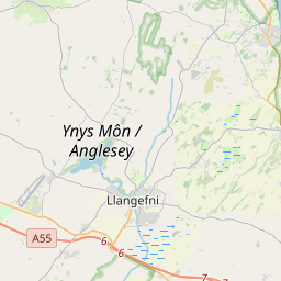
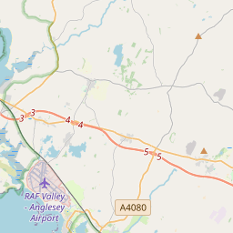
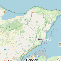
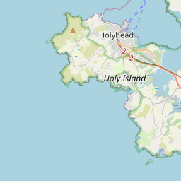
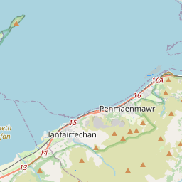

Leaflet Map data © OpenStreetMap
Images are licensed for reuse under creativecommons.org/licenses/by-sa/2.0
Notes
- Clicking on the map will re-center to the selected point.
- The higher the marker number, the further away the image location is from the centre of the postcode.
Image Listing (5 Images Found)
Images are licensed for reuse under creativecommons.org/licenses/by-sa/2.0
Image
Details
Distance
1
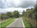
Junction with private road to Bron-yr-allt Farm
Image: © Eric Jones
Taken: 13 Sep 2008
0.20 miles
2
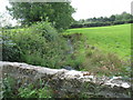
Afon Carrog below the bridge
Carrog is one of the tributaries of Afon Cefni.
Image: © Eric Jones
Taken: 13 Sep 2008
0.22 miles
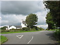
3
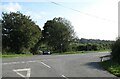
Crossroads north of Llangefni
Right on the Llangefni parish boundary with the town sign visible to the right on the B5110.
Image: © Gordon Hatton
Taken: 21 Sep 2020
0.22 miles
4
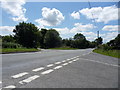
The B5110
Ty'n-y-rhos Crossroads along the B5110 leading to Llangefni.
Image: © J Scott
Taken: 26 Jul 2011
0.22 miles
5
Ty'n-y-rhos Crossroads on the B 5110
Ty'n-y-rhos means "homestead of the heath".
Image: © Eric Jones
Taken: 13 Sep 2008
0.24 miles