
IMAGES TAKEN NEAR TO
Lon Porth, HOLYHEAD, LL65 2WN
Introduction
This page details the photographs taken nearby to Lon Porth, LL65 2WN by members of the Geograph project.
The Geograph project started in 2005 with the aim of publishing, organising and preserving representative images for every square kilometre of Great Britain, Ireland and the Isle of Man.

There are currently over 7.5m images from over14,400 individuals and you can help contribute to the project by visiting https://www.geograph.org.uk
Image Map
Images are licensed for reuse under creativecommons.org/licenses/by-sa/2.0
Notes
- Clicking on the map will re-center to the selected point.
- The higher the marker number, the further away the image location is from the centre of the postcode.
Image Listing (94 Images Found)
Images are licensed for reuse under creativecommons.org/licenses/by-sa/2.0
Image
Details
Distance
1
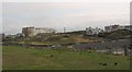
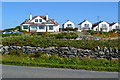
The Plas Darien Holiday Complex from the coastal path above Porth y Pwll
Image: © Eric Jones
Taken: 8 Aug 2009
0.02 miles
2
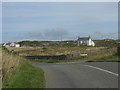
Junction with the Traeth Atsain lane at Porth y Pwll
Image: © Eric Jones
Taken: 8 Aug 2009
0.02 miles
3
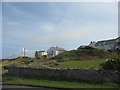
Houses at Traeth Atsain
Traeth Atsain means "echo beach".
Image: © Eric Jones
Taken: 8 Aug 2009
0.03 miles
4
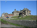
Craig-y-Mor
A view looking east to the prominent house known as Craig-y-Mor.
Image: © Phil Williams
Taken: 21 Apr 2006
0.05 miles
5

Bay View House and Porth-y-Post Farmhouse
Image: © Eric Jones
Taken: 8 Aug 2009
0.06 miles
6
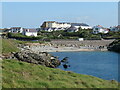
Porth y Pwll
One of the small bays just along the coast from Trearddur Bay
Image: © Gordon Hatton
Taken: 21 Sep 2020
0.06 miles
8

New Harbour Group outcrop 2
A close-up view of folded strata belonging to the Precambrian New Harbour Group of metamorphic rocks, about 600 million years in age. I did not want to spoil the composition with a pencil or coin to indicate scale, so you will have to take it from me that the picture represents about 30 vertical centimetres of outcrop. The fine layers are alternating sandy and muddy material that has now been converted to a schist by heat and pressure. Sandy layers are more resistant to weathering and erosion, so stand proud today.
Image: © Jonathan Wilkins
Taken: 26 Apr 2013
0.07 miles
9

Shingle Beach
Close to the road near Porth-y-Post
Image: © James Allan
Taken: 6 Sep 2007
0.07 miles
10
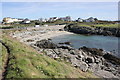
Porth y Pwll near Trearddur Bay
The view south east from the Anglesey Coastal Path near Porth y Pwll west of Trearddur Bay.
Wikipedia https://en.wikipedia.org/wiki/Anglesey_Coastal_Path
Image: © Jeff Buck
Taken: 22 Sep 2016
0.07 miles