IMAGES TAKEN NEAR TO
Llangristiolus, BODORGAN, LL62 5PF
Introduction
This page details the photographs taken nearby to LL62 5PF by members of the Geograph project.
The Geograph project started in 2005 with the aim of publishing, organising and preserving representative images for every square kilometre of Great Britain, Ireland and the Isle of Man.

There are currently over 7.5m images from over14,400 individuals and you can help contribute to the project by visiting https://www.geograph.org.uk
Image Map
Images are licensed for reuse under creativecommons.org/licenses/by-sa/2.0
Notes
- Clicking on the map will re-center to the selected point.
- The higher the marker number, the further away the image location is from the centre of the postcode.
Image Listing (12 Images Found)
Images are licensed for reuse under creativecommons.org/licenses/by-sa/2.0
Image
Details
Distance
2
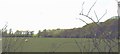
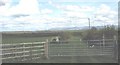
Grazing sheep in a field at the edge of Coed Henblas wood
Image: © Eric Jones
Taken: 2 May 2008
0.05 miles
3
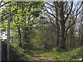
Track with public rights of way through Coed Henblas woods
Image: © Eric Jones
Taken: 2 May 2008
0.08 miles
5
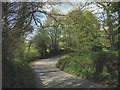
Bend in the road between Criw and Ysgubor Fawr farms
Image: © Eric Jones
Taken: 2 May 2008
0.11 miles
6
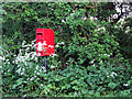
Roadside Post box
A roadside post box on a road junction
Image: © Nigel Williams
Taken: 3 Jun 2006
0.11 miles
8
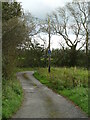
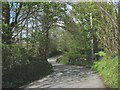
Lane to Ysgubor Fawr
There's many lanes like this on Anglesey, generally shown as 'white roads' on the OS map, and one wonders if they are legally open to vehicles or not. My guess is probably not in this instance as the lane is also shown as a public footpath. Ysgubor Fawr simply means 'big barn'.
Image: © Gordon Hatton
Taken: 25 Sep 2020
0.13 miles
9
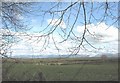
View east across farmland towards the Malltraeth Marsh
The Carneddau and Glyderau mountains form the bulk of the background, with the Llanberis Pass and Snowdon forming the final section on the right.
Image: © Eric Jones
Taken: 2 May 2008
0.16 miles