
IMAGES TAKEN NEAR TO
Lon Y Bedw, BANGOR, LL57 4TN
Introduction
This page details the photographs taken nearby to Lon Y Bedw, LL57 4TN by members of the Geograph project.
The Geograph project started in 2005 with the aim of publishing, organising and preserving representative images for every square kilometre of Great Britain, Ireland and the Isle of Man.

There are currently over 7.5m images from over14,400 individuals and you can help contribute to the project by visiting https://www.geograph.org.uk
Image Map
Images are licensed for reuse under creativecommons.org/licenses/by-sa/2.0
Notes
- Clicking on the map will re-center to the selected point.
- The higher the marker number, the further away the image location is from the centre of the postcode.
Image Listing (40 Images Found)
Images are licensed for reuse under creativecommons.org/licenses/by-sa/2.0
Image
Details
Distance
1
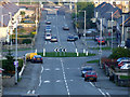
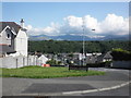
Roundabout in Coed Mawr
View looking down the steep hill towards the roundabout in the centre of the housing estate of Coed Mawr
Image: © Nigel Williams
Taken: 21 Apr 2006
0.06 miles
2
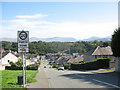
Coed Mawr Road
An important north-south link on the western outskirts of Bangor. This road did not exist until the 1960s.
Image: © Eric Jones
Taken: 9 Sep 2006
0.08 miles
3
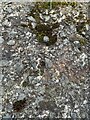
Rivet benchmark on Toronnen, Bangor
For more info see: https://www.bench-marks.org.uk/bm26774
Image: © Meirion
Taken: 1 Mar 2023
0.09 miles
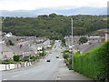
9
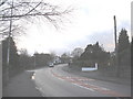
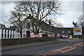
View along Penrhos Road in the direction of the Environment Agency Offices
Image: © Eric Jones
Taken: 11 Jan 2008
0.11 miles
10
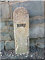
GPO cable marker on Penrhos Road, Bangor
http://www.ringbell.co.uk/nostalgia/aat.htm
Image: © Meirion
Taken: 4 Oct 2019
0.11 miles