
IMAGES TAKEN NEAR TO
Lon Powys, BANGOR, LL57 2TY
Introduction
This page details the photographs taken nearby to Lon Powys, LL57 2TY by members of the Geograph project.
The Geograph project started in 2005 with the aim of publishing, organising and preserving representative images for every square kilometre of Great Britain, Ireland and the Isle of Man.

There are currently over 7.5m images from over14,400 individuals and you can help contribute to the project by visiting https://www.geograph.org.uk
Image Map
Images are licensed for reuse under creativecommons.org/licenses/by-sa/2.0
Notes
- Clicking on the map will re-center to the selected point.
- The higher the marker number, the further away the image location is from the centre of the postcode.
Image Listing (63 Images Found)
Images are licensed for reuse under creativecommons.org/licenses/by-sa/2.0
Image
Details
Distance
2
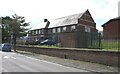
Ysgol Tryfan - Bangor's Welsh-medium secondary school
Image: © Eric Jones
Taken: 2 May 2008
0.04 miles
3
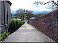
Walkway linking Lon Powys and Trem Elidir
Image: © Eric Jones
Taken: 2 May 2008
0.05 miles
4
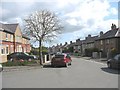
Lon Ogwen Street
This is part of a 1930s local-authourity-built estate.
Image: © Eric Jones
Taken: 2 May 2008
0.05 miles
5
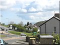
View across the top of Penchwintan Road to Trem Elidir
Image: © Eric Jones
Taken: 2 May 2008
0.06 miles
9
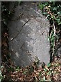
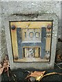
Old Boundary Marker
Parish Boundary Marker on north side of Penchwintan Road. On the former boundary of Bangor and Pentir parishes, but now entirely in Bangor. See also https://www.geograph.org.uk/photo/6232906
Milestone Society National ID: CAE_BANG01pb
Image: © M P Roberts
Taken: 8 Aug 2019
0.09 miles
10
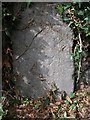
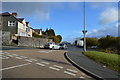
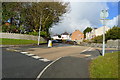
Possible boundary stone on Penchwintan Road, Bangor
On Penchwintan Road opposite the junction with Ainon Road.
Image: © Meirion
Taken: 1 Aug 2019
0.09 miles