
IMAGES TAKEN NEAR TO
Rhos Uchaf, BANGOR, LL57 2LP
Introduction
This page details the photographs taken nearby to Rhos Uchaf, LL57 2LP by members of the Geograph project.
The Geograph project started in 2005 with the aim of publishing, organising and preserving representative images for every square kilometre of Great Britain, Ireland and the Isle of Man.

There are currently over 7.5m images from over14,400 individuals and you can help contribute to the project by visiting https://www.geograph.org.uk
Image Map
Images are licensed for reuse under creativecommons.org/licenses/by-sa/2.0
Notes
- Clicking on the map will re-center to the selected point.
- The higher the marker number, the further away the image location is from the centre of the postcode.
Image Listing (72 Images Found)
Images are licensed for reuse under creativecommons.org/licenses/by-sa/2.0
Image
Details
Distance
2
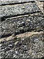
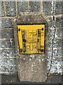
Rivet benchmark on gatepost on Ffordd Penrhos, Bangor
For more details see: https://www.bench-marks.org.uk/bm26775
Image: © Meirion
Taken: 8 Sep 2023
0.03 miles
5
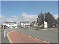
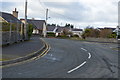
The exit road from Ysbyty Gwynedd Hospital
Image: © Eric Jones
Taken: 23 Apr 2008
0.04 miles
8
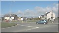
Residential properties opposite the entrance to Ysbyty Gwynedd
Image: © Eric Jones
Taken: 23 Apr 2008
0.04 miles
10
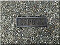
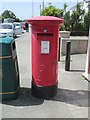
Post Office access cover plaque on Menai Road, Bangor
Image: © Meirion
Taken: 6 Jul 2022
0.05 miles