
IMAGES TAKEN NEAR TO
Deiniolen, CAERNARFON, LL55 3NA
Introduction
This page details the photographs taken nearby to LL55 3NA by members of the Geograph project.
The Geograph project started in 2005 with the aim of publishing, organising and preserving representative images for every square kilometre of Great Britain, Ireland and the Isle of Man.

There are currently over 7.5m images from over14,400 individuals and you can help contribute to the project by visiting https://www.geograph.org.uk
Image Map
Images are licensed for reuse under creativecommons.org/licenses/by-sa/2.0
Notes
- Clicking on the map will re-center to the selected point.
- The higher the marker number, the further away the image location is from the centre of the postcode.
Image Listing (15 Images Found)
Images are licensed for reuse under creativecommons.org/licenses/by-sa/2.0
Image
Details
Distance
1
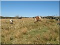
Grazing ponies
Ponies grazing rough grassland above the road.
Image: © Jonathan Wilkins
Taken: 2 Apr 2021
0.05 miles
2
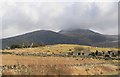
Ruined Cottages near Talywaen, Deiniolen.
This view taken on about the 350m contour appears to be the limit of habitation. The majority of houses to the left of the road (higher ground) are in ruins, while to the right hand side (lower slopes) the houses appear to be all populated.
Image: © Stephen Elwyn RODDICK
Taken: 21 Feb 2006
0.07 miles
3
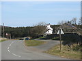
Tal y Waen - Hightrek Outdoor Centre
http://www.hightrek.co.uk
Image: © Eric Jones
Taken: 6 Apr 2007
0.09 miles
4
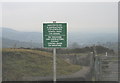
The former hippy site and a new control sign at the gate to the First-Hydro road
As well as security considerations arising from terrorism, the HEP company seeks to keep out traveller communities. The car park, on the left beyond the gate, was for a couple of years occupied by New Age Travellers, and were it not for the gate and concrete blocks they would have moved on towards Marchlyn Quarry. NAT are still illegally squatting on a number of sites in the Llanberis and Bethel areas.
Image
Image: © Eric Jones
Taken: 23 Dec 2006
0.09 miles
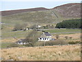
6
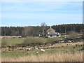
Buarth Bunk House from Lon Cefn Waen Lane
Image: © Eric Jones
Taken: 6 Apr 2007
0.11 miles
7
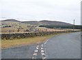
The junction of Lon Cefn-y-waun and the Marchlyn Road
The Marchlyn Road was improved in the 1960s as part of the Hydro-Electric Station Project.
Image: © Eric Jones
Taken: 24 Jan 2011
0.13 miles
8

The Rhydd-dir Mawnog y Gof forestry plantation
This is a comparatively new plantation.
Image: © Eric Jones
Taken: 6 Mar 1999
0.15 miles
9
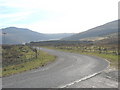
Lon Marchlyn at its junction with Lon Cefn Waen
Lon Marchlyn is the service road for the upper reservoir of the Dinorwig HEP plant.
Image: © Eric Jones
Taken: 6 Apr 2007
0.15 miles
10
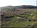
Rough mountain grazing
West of Deiniolen
Image: © Eirian Evans
Taken: 23 Apr 2008
0.16 miles