
IMAGES TAKEN NEAR TO
Carmel, CAERNARFON, LL54 7SA
Introduction
This page details the photographs taken nearby to LL54 7SA by members of the Geograph project.
The Geograph project started in 2005 with the aim of publishing, organising and preserving representative images for every square kilometre of Great Britain, Ireland and the Isle of Man.

There are currently over 7.5m images from over14,400 individuals and you can help contribute to the project by visiting https://www.geograph.org.uk
Image Map
Images are licensed for reuse under creativecommons.org/licenses/by-sa/2.0
Notes
- Clicking on the map will re-center to the selected point.
- The higher the marker number, the further away the image location is from the centre of the postcode.
Image Listing (11 Images Found)
Images are licensed for reuse under creativecommons.org/licenses/by-sa/2.0
Image
Details
Distance
1
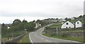
Entering Carmel from the direction of Penygroes
Image: © Eric Jones
Taken: 15 Jul 2008
0.01 miles
2
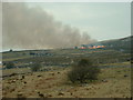
Heather burning on Mynydd y Cilgwyn
Looking east. The burning is in the next square, I think.
Image: © David Medcalf
Taken: 23 Mar 2006
0.12 miles
4
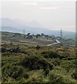
Hazy afternoon at Cilgwyn
Looking downhill from the lower slopes of Mynydd y Cligwyn towards the distant coast where two of the Yr Eifl group can be seen.
Image: © Gordon Hatton
Taken: 26 Sep 2017
0.15 miles
5
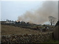
Flames over Carmel
Heather burning on Mynydd y Cilgwyn
Image: © David Medcalf
Taken: 23 Mar 2006
0.20 miles
6
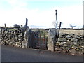
Footpath at Carmel
Substantial gate posts and dry stone walls here
Image: © Eirian Evans
Taken: 29 Mar 2018
0.20 miles
7
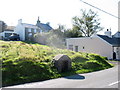
A Disused Communal Water Tap
Up to mid 1950s many households were dependent for their water on street taps. In villages such as Carmel, where Non-conformity was strong, there was an absolute taboo on drawing water on the Sabbath, with double the usual amount being drawn on Saturday evening. In some villages taps were chained on Sundays.
Image: © Eric Jones
Taken: 8 Sep 2006
0.20 miles
10

Quarrymen's steps
Slate Quarrymen's steps set into the bank at the side of the road from Carmel (left) to Penygroes. The footpath crosses the road and heads uphill to Cilgwyn and the slate quarries. The tiny angled line on the right hand edge of the photo is the arm of a modern machine reclaiming the slate waste from a tip.
Image: © John S Turner
Taken: 9 Sep 2006
0.25 miles