
IMAGES TAKEN NEAR TO
Llangwnadl, PWLLHELI, LL53 8NS
Introduction
This page details the photographs taken nearby to LL53 8NS by members of the Geograph project.
The Geograph project started in 2005 with the aim of publishing, organising and preserving representative images for every square kilometre of Great Britain, Ireland and the Isle of Man.

There are currently over 7.5m images from over14,400 individuals and you can help contribute to the project by visiting https://www.geograph.org.uk
Image Map
Images are licensed for reuse under creativecommons.org/licenses/by-sa/2.0
Notes
- Clicking on the map will re-center to the selected point.
- The higher the marker number, the further away the image location is from the centre of the postcode.
Image Listing (8 Images Found)
Images are licensed for reuse under creativecommons.org/licenses/by-sa/2.0
Image
Details
Distance
2
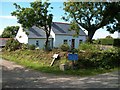
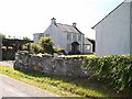
Ty Coch, Llangwnnadl
This a renovated cottage. The drive leads to Tir Gwenith, a farm offering self-catering holiday accommodation.
http://www.llynretreats.com/
Image: © Eric Jones
Taken: 14 Aug 2010
0.04 miles
3
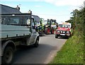
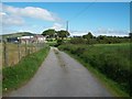
Road congestion at Llangwnnadl
Though charming to walk along, these narrow country lanes are quite unsuitable for modern traffic needs.
Image: © Eric Jones
Taken: 14 Aug 2010
0.08 miles
4
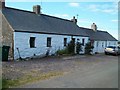
Ty'n ddol cottages, Llangwnnadl
These are traditional Welsh cottages which in the past would have been the homes of mariners or agricultural labourers.
Image: © Eric Jones
Taken: 14 Aug 2010
0.11 miles
8
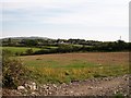
View south from Pen-y-graig across farmland
The hill in the background with its familiar aerials is Mynydd Rhiw.
Image: © Eric Jones
Taken: 1 Sep 2010
0.23 miles