
IMAGES TAKEN NEAR TO
Prenteg, PORTHMADOG, LL49 9SW
Introduction
This page details the photographs taken nearby to LL49 9SW by members of the Geograph project.
The Geograph project started in 2005 with the aim of publishing, organising and preserving representative images for every square kilometre of Great Britain, Ireland and the Isle of Man.

There are currently over 7.5m images from over14,400 individuals and you can help contribute to the project by visiting https://www.geograph.org.uk
Image Map
Images are licensed for reuse under creativecommons.org/licenses/by-sa/2.0
Notes
- Clicking on the map will re-center to the selected point.
- The higher the marker number, the further away the image location is from the centre of the postcode.
Image Listing (24 Images Found)
Images are licensed for reuse under creativecommons.org/licenses/by-sa/2.0
Image
Details
Distance
1
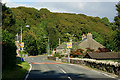
Prenteg, Gwynedd
Looking north, along the A498.
Image: © Peter Trimming
Taken: 11 Oct 2013
0.01 miles
2
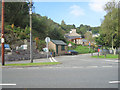
Road to Glan-y-Gors at Prenteg
Taken from A498. Telephone box can be seen in distance
Image: © John Firth
Taken: 9 Oct 2010
0.02 miles
3
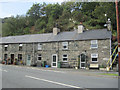
Terrace of houses in Prenteg
At road junction on A498
Image: © John Firth
Taken: 9 Oct 2010
0.04 miles
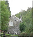
5
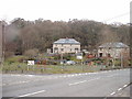
Prenteg Village
Looking across the A498 to the children's playpark
Image: © David Medcalf
Taken: 24 Feb 2006
0.07 miles
6
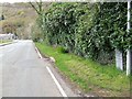
Tremadog 2
Old milestone on the A.498 at Prenteg, Gwynedd. For close up view see http://www.geograph.org.uk/photo/5073595
Image: © Keith Evans
Taken: 25 Apr 2016
0.09 miles
7
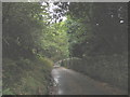
The Prenteg to Cwm Ystradllyn Road
This narrow minor road climbs steeply from the flatlands at Prenteg up a narrow V-shaped valley to emerge out on the open plateau below Mynydd Gorllwyn. The valley sides are thickly wooded. At this time of the year the road is free of traffic and provides an ideal walk, the distance from Prenteg to Cwm Ystradllyn being only 5 miles.
Image: © Eric Jones
Taken: 20 Oct 2006
0.09 miles
8
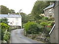
The older part of Prenteg village
Prenteg means 'fairwood'. These 19th century houses date from a time of prosperity in the local slate and copper mining industries.
Image: © Eric Jones
Taken: 20 Oct 2006
0.09 miles
10
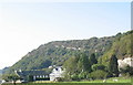
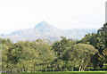
A view across Prenteg towards Pen y Garn Hill
The tilted rocky scar on Pen y Garn is a noticeable feature.
Image: © Eric Jones
Taken: 14 Oct 2006
0.09 miles