IMAGES TAKEN NEAR TO
TALYBONT, LL43 2AD
Introduction
This page details the photographs taken nearby to LL43 2AD by members of the Geograph project.
The Geograph project started in 2005 with the aim of publishing, organising and preserving representative images for every square kilometre of Great Britain, Ireland and the Isle of Man.

There are currently over 7.5m images from over14,400 individuals and you can help contribute to the project by visiting https://www.geograph.org.uk
Image Map
Images are licensed for reuse under creativecommons.org/licenses/by-sa/2.0
Notes
- Clicking on the map will re-center to the selected point.
- The higher the marker number, the further away the image location is from the centre of the postcode.
Image Listing (20 Images Found)
Images are licensed for reuse under creativecommons.org/licenses/by-sa/2.0
Image
Details
Distance
1
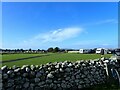
Farm and Caravan site at Rowen
From railway
Image: © John Firth
Taken: 23 Oct 2012
0.02 miles
4
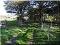
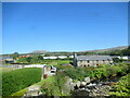
Farm track leading to Tal-y-bont
Also forms part of the Wales Coast Path.
Image: © John Lucas
Taken: 26 Oct 2015
0.08 miles
5
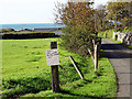
Camping site closed
A sign denoting the closure of the camping site until Easter of 2016.
Image: © John Lucas
Taken: 26 Oct 2015
0.09 miles
6
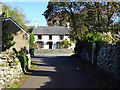
Emerging onto the A496 road at Tal-y-bont
Somehow I missed a turning when walking the section of the Wales Coast Path from Dyffryn Ardudwy to Tal-y-bont. But no matter, the end result was the same. Just had to walk a little further along the main road than would otherwise have been the case.
Image: © John Lucas
Taken: 26 Oct 2015
0.12 miles
7
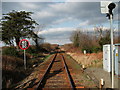
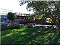
Cambrian Coast Line to Pwllheli
This coastal railway line is never far from the sea and so it's exposed to high levels of salt laden moist air. As a result there is a steady build up of rust on everything, even the plastic cable ducts have a fair coating.Image]
Image: © John Haynes
Taken: 2 Feb 2012
0.16 miles
8
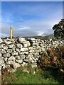
The Wales Coast Path
If it wasn't for the obvious waymarker, it would be easy to miss this stile
Image: © Eirian Evans
Taken: 22 Oct 2022
0.17 miles
9
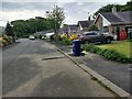
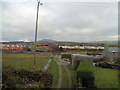
Looking towards urban Tal-y-Bont from the bridlepath
Image: © David Medcalf
Taken: 20 May 2018
0.18 miles