
IMAGES TAKEN NEAR TO
Llys Helyg, CONWY, LL31 9BN
Introduction
This page details the photographs taken nearby to Llys Helyg, LL31 9BN by members of the Geograph project.
The Geograph project started in 2005 with the aim of publishing, organising and preserving representative images for every square kilometre of Great Britain, Ireland and the Isle of Man.

There are currently over 7.5m images from over14,400 individuals and you can help contribute to the project by visiting https://www.geograph.org.uk
Image Map
Images are licensed for reuse under creativecommons.org/licenses/by-sa/2.0
Notes
- Clicking on the map will re-center to the selected point.
- The higher the marker number, the further away the image location is from the centre of the postcode.
Image Listing (133 Images Found)
Images are licensed for reuse under creativecommons.org/licenses/by-sa/2.0
Image
Details
Distance
2
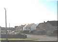
Stad Bryn Gannog Estate
A modern private housing estate.
Image: © Eric Jones
Taken: 20 Oct 2007
0.04 miles
3
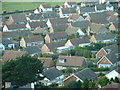
Deganwy Bungalows
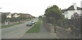
Taken from just East of the gridsquare a good view of typical Deganwy homes.
Image: © Chris Shaw
Taken: 30 Aug 2004
0.04 miles
4

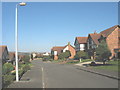
Llys Helig
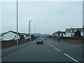
This street, off Hawes Drive, provides a through link to the Bryn Gannog Estate.
Image: © Eric Jones
Taken: 20 Oct 2007
0.04 miles
5

Houses on Hawes Drive
The site of Deganwy Castle rises impressively behind.
Image: © Bill Boaden
Taken: 17 Feb 2017
0.06 miles
9
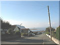
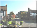
Hawes Drive, Deganwy
This road links at the bottom of the hill with the A546
Image: © Eric Jones
Taken: 20 Oct 2007
0.08 miles
10
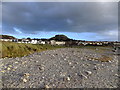
The Vardre
I have purposely not cropped this image as it shows some of the devastation caused by a storm and tidal surge on 5 December 2013. Parts of the pathway have been swept away and the beach deposited on the grasslands and path.
The site of Deganwy Castle can be found on the far hill.
Image: © Richard Hoare
Taken: 31 Dec 2013
0.08 miles