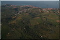
IMAGES TAKEN NEAR TO
Carlton Road, COLWYN BAY, LL29 8RS
Introduction
This page details the photographs taken nearby to Carlton Road, LL29 8RS by members of the Geograph project.
The Geograph project started in 2005 with the aim of publishing, organising and preserving representative images for every square kilometre of Great Britain, Ireland and the Isle of Man.

There are currently over 7.5m images from over14,400 individuals and you can help contribute to the project by visiting https://www.geograph.org.uk
Image Map
Images are licensed for reuse under creativecommons.org/licenses/by-sa/2.0
Notes
- Clicking on the map will re-center to the selected point.
- The higher the marker number, the further away the image location is from the centre of the postcode.
Image Listing (126 Images Found)
Images are licensed for reuse under creativecommons.org/licenses/by-sa/2.0
Image
Details
Distance
1
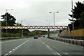
Footbridge over the North Wales Expressway
Image: © Steve Daniels
Taken: 23 Aug 2015
0.03 miles
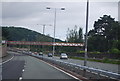
3
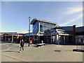
Bayview entrance
To the shopping arcade.
Image: © Richard Hoare
Taken: 10 Mar 2014
0.04 miles
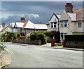
5
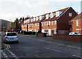
Prince's Drive housing, Colwyn Bay
Viewed from the corner of Egerton Road.
Image: © Jaggery
Taken: 23 Feb 2016
0.05 miles
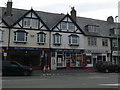
7

Old Milestone
Old mile stoneon the A.547 near to Llandrillo-Yn-Rhos, Conwy. For close up view see http://www.geograph.org.uk/photo/5190571
Image: © Keith Evans
Taken: 10 Sep 2016
0.06 miles
8
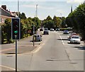
Conway Road
The A547 into Colwyn Bay.
Image: © Gerald England
Taken: 10 Jul 2014
0.06 miles
9

Abergele 7
Old milestone on the A.547 near to Llandrillo-yn-Rhos, Conwy. For overall view see http://www.geograph.org.uk/photo/5190575
Image: © Keith Evans
Taken: 10 Sep 2016
0.07 miles