
IMAGES TAKEN NEAR TO
Abergele Road, COLWYN BAY, LL29 8AN
Introduction
This page details the photographs taken nearby to Abergele Road, LL29 8AN by members of the Geograph project.
The Geograph project started in 2005 with the aim of publishing, organising and preserving representative images for every square kilometre of Great Britain, Ireland and the Isle of Man.

There are currently over 7.5m images from over14,400 individuals and you can help contribute to the project by visiting https://www.geograph.org.uk
Image Map
Images are licensed for reuse under creativecommons.org/licenses/by-sa/2.0
Notes
- Clicking on the map will re-center to the selected point.
- The higher the marker number, the further away the image location is from the centre of the postcode.
Image Listing (65 Images Found)
Images are licensed for reuse under creativecommons.org/licenses/by-sa/2.0
Image
Details
Distance
1
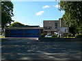
Gorsaf D?n Bae Colwyn
Colwyn Bay Fire Station on Abergele Road.
Image: © Eirian Evans
Taken: 8 Aug 2007
0.01 miles
2
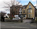
Child Health Clinic, Old Colwyn
On the south side of Abergele Road, near the corner of Hesketh Road.
Image: © Jaggery
Taken: 23 Feb 2016
0.01 miles
3
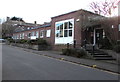
North Wales Brain Injury Service, Hesketh Road, Colwyn Bay
Part of Colwyn Bay Hospital. The Wales NHS website states that the North Wales Brain Injury Service (NWBIS) was developed during 1998. NWBIS is a community-based, multidisciplinary team providing outpatient rehabilitation for persons with acquired brain injury. It forms part of Specialist Services within the Mental Health and Learning Disability Clinical Programme Group of Betsi Cadwaladr University Health Board.
Image: © Jaggery
Taken: 23 Feb 2016
0.03 miles
4
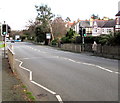
Pelican crossing, Abergele Road, Old Colwyn
Chambers Dictionary states that pelican in this context is adapted from "pedestrian light controlled crossing".
Image: © Jaggery
Taken: 23 Feb 2016
0.03 miles
5
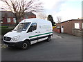
Welsh side of an ambulance, Hesketh Road, Colwyn Bay
Parked outside Colwyn Bay Community Hospital. Text on this side of the Mercedes-Benz vehicle is in Welsh. English text is on the opposite side.
Image: © Jaggery
Taken: 23 Feb 2016
0.03 miles
6
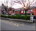
Keep Clear Zone, Hesketh Road, Colwyn Bay
The yellow text in English and Welsh is part of the no stopping or
parking zone near the entrance to Colwyn Bay Community Hospital.
Image: © Jaggery
Taken: 23 Feb 2016
0.04 miles
7
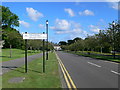
Road to the Civic Offices, Colwyn Bay
Avenue off Abergele Road, leading to Conwy County Council Civic Offices.
Image: © Eirian Evans
Taken: 8 Aug 2007
0.04 miles
8
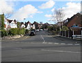
Bryn Avenue, Old Colwyn
Ascending from the south side of the A547 Abergele Road.
Image: © Jaggery
Taken: 23 Feb 2016
0.05 miles
9
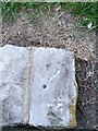
Ordnance Survey Rivet
This OS rivet can be found on the wall NW side of Abergele Road. It marks a point 37.830m above mean sea level.
Image: © Adrian Dust
Taken: 17 Jun 2021
0.05 miles
10
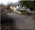
Boarded-up house, Old Colwyn
Set back 40 metres from the north side of Abergele Road.
Image: © Jaggery
Taken: 23 Feb 2016
0.05 miles