
IMAGES TAKEN NEAR TO
Sunningdale Grove, COLWYN BAY, LL29 6DG
Introduction
This page details the photographs taken nearby to Sunningdale Grove, LL29 6DG by members of the Geograph project.
The Geograph project started in 2005 with the aim of publishing, organising and preserving representative images for every square kilometre of Great Britain, Ireland and the Isle of Man.

There are currently over 7.5m images from over14,400 individuals and you can help contribute to the project by visiting https://www.geograph.org.uk
Image Map
Images are licensed for reuse under creativecommons.org/licenses/by-sa/2.0
Notes
- Clicking on the map will re-center to the selected point.
- The higher the marker number, the further away the image location is from the centre of the postcode.
Image Listing (11 Images Found)
Images are licensed for reuse under creativecommons.org/licenses/by-sa/2.0
Image
Details
Distance
1
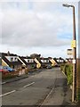
Troon Way
Chalet bungalows on this golf-themed estate on Colwyn Heights. See also Image
Image: © Jonathan Wilkins
Taken: 6 Feb 2019
0.03 miles
2
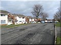
St.Andrews Road 1
It is quickly realised that roads in this early development of the area that became known as Colwyn Heights have golf course names. It is not so well known that this area was until 1958 the Colwyn Bay Golf Course, purchased by the council and subsequently sold at a good profit for private development.
Image: © Jonathan Wilkins
Taken: 6 Feb 2019
0.13 miles
3
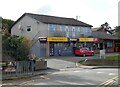
Wentworth Stores
A Premier store and Post Office.
Image: © Gerald England
Taken: 10 Oct 2021
0.16 miles
4
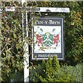
Sign for Pen-y-Bryn
The sign for Pen-y-Bryn Image
Image: © Gerald England
Taken: 10 Oct 2021
0.18 miles
5
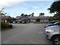
Pen-y-Bryn
Free house on the hills above Colwyn Bay.
Image
Image: © Gerald England
Taken: 10 Oct 2021
0.19 miles
6
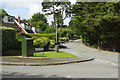
Pen-y-Bryn Road, Colwyn Heights
Showing the junction with Troon Way in this leafy part of Colwyn Bay.
Image: © Stephen McKay
Taken: 7 Aug 2017
0.19 miles
7
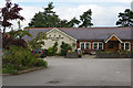
Pen-y-Bryn, Colwyn Heights
Described on its own website as looking a bit like a medical centre, this pub originally opened in 1983 as 'Taylors'. It was taken over by its present owners in 2001 who gave it an upmarket makeover.
Image: © Stephen McKay
Taken: 7 Aug 2017
0.19 miles
8
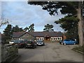
Pen-y-bryn Free House
A popular pub and restaurant occupying the site of the erstwhile club house of the Colwyn bay Golf Course (note the entrance from Wentworth Avenue). The original building was demolished in the 1960s and Taylor's pub and restaurant eventually took over the site. It is claimed that much of the material for the new building was sourced from property demolished for constructing the A55 expressway.
Image: © Jonathan Wilkins
Taken: 6 Feb 2019
0.19 miles
9
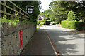
Pen-y-Bryn Road, Colwyn Heights
Looking towards the junction with Troon Way. The sign is for the Pen-y-Bryn pub although public access is via Wentworth Avenue.
Image: © Stephen McKay
Taken: 7 Aug 2017
0.21 miles
10
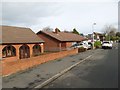
Wentworth Avenue
Bungalows on the golf-themed estate in Colwyn Heights.
Image: © Jonathan Wilkins
Taken: 6 Feb 2019
0.21 miles