
IMAGES TAKEN NEAR TO
Nebo, LLANRWST, LL26 0TD
Introduction
This page details the photographs taken nearby to LL26 0TD by members of the Geograph project.
The Geograph project started in 2005 with the aim of publishing, organising and preserving representative images for every square kilometre of Great Britain, Ireland and the Isle of Man.

There are currently over 7.5m images from over14,400 individuals and you can help contribute to the project by visiting https://www.geograph.org.uk
Image Map
Images are licensed for reuse under creativecommons.org/licenses/by-sa/2.0
Notes
- Clicking on the map will re-center to the selected point.
- The higher the marker number, the further away the image location is from the centre of the postcode.
Image Listing (11 Images Found)
Images are licensed for reuse under creativecommons.org/licenses/by-sa/2.0
Image
Details
Distance
1
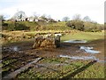
Hafod-y-geunan
A muddy prospect for these sheep at this feeder by Hafod-y-geunan.
Image: © Jonathan Wilkins
Taken: 18 Jan 2020
0.04 miles
2
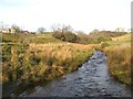
Afon Iwrch
A view of the upper part of this busy, upland river near to Hafod-y-geunan.
Image: © Jonathan Wilkins
Taken: 18 Jan 2020
0.05 miles

4
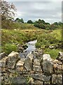
Afon Irwch facing NNW
Hafod-y-geunan is to the left on the ridge.
Image: © Richard Hoare
Taken: 13 Sep 2021
0.08 miles
5
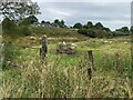
Low lying pasture land beside Afon Irwch
Image: © Richard Hoare
Taken: 13 Sep 2021
0.08 miles
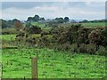
7
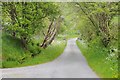
Road near Nebo
Country road to the west of Nebo.
Image: © Philip Halling
Taken: 13 Jun 2015
0.10 miles
8
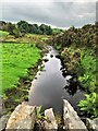
Afon Irwch facing SSE
An interesting wooden trap further downstream.
Image: © Richard Hoare
Taken: 13 Sep 2021
0.11 miles
9
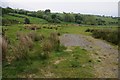
Farmland near Nebo
Farmland opposite Hafod-y-geunan near the village of Nebo.
Image: © Philip Halling
Taken: 13 Jun 2015
0.13 miles
10
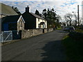
Nebo
A hamlet in the hills between Llanrwst and Pentrefoelas
Image: © Eirian Evans
Taken: 16 Nov 2007
0.19 miles