
IMAGES TAKEN NEAR TO
Lon Y Llyn, ABERGELE, LL22 7RS
Introduction
This page details the photographs taken nearby to Lon Y Llyn, LL22 7RS by members of the Geograph project.
The Geograph project started in 2005 with the aim of publishing, organising and preserving representative images for every square kilometre of Great Britain, Ireland and the Isle of Man.

There are currently over 7.5m images from over14,400 individuals and you can help contribute to the project by visiting https://www.geograph.org.uk
Image Map
Images are licensed for reuse under creativecommons.org/licenses/by-sa/2.0
Notes
- Clicking on the map will re-center to the selected point.
- The higher the marker number, the further away the image location is from the centre of the postcode.
Image Listing (23 Images Found)
Images are licensed for reuse under creativecommons.org/licenses/by-sa/2.0
Image
Details
Distance
1
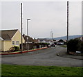
Cilfan, Pensarn, Abergele
Cilfan is a cul-de-sac set back from the south side of the A548 Towyn Road.
Image: © Jaggery
Taken: 27 Feb 2016
0.18 miles
2
North Wales Coast Path
Pensarn Beach on the North Wales Coastal Path
Image: © Dot Potter
Taken: 14 Jul 2005
0.19 miles
3
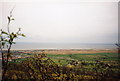
Valley of the Gele, after flood
View from SJ9576 looking north to valley of the River Gele and the North Wales coast at Pensarn, after the floods in February 1990. Water breached the sea wall, flooded the area behind the houses and holiday caravans, then gradually rose to indundate property from the landward side. The light brown colouring shows the extent of the flooding of farmland.
Image: © S Parish
Taken: Unknown
0.19 miles
4
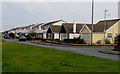
Houses on the south side of Towyn Road, Pensarn, Abergele
Set back from the south side of the A548 Towyn Road.
Image: © Jaggery
Taken: 27 Feb 2016
0.20 miles
8
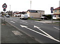
Start of the 30 zone at the eastern edge of Pensarn, Abergele
The 40mph speed limit on the A548 Towyn Road drops to 30mph.
Image: © Jaggery
Taken: 27 Feb 2016
0.22 miles
9
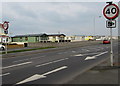
End of the 30 zone near the eastern edge of Pensarn, Abergele
The 30mph speed limit on the A548 Towyn Road increases to 40mph.
Harts Caravan Park is in the background.
Image: © Jaggery
Taken: 27 Feb 2016
0.22 miles
10
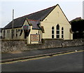
Pensarn Family Church, Abergele
Viewed across Berllan, south of Towyn Road.
Grade II listed English Presbyterian Church http://www.geograph.org.uk/photo/4898386 is nearby, out of shot on the left.
Image: © Jaggery
Taken: 27 Feb 2016
0.22 miles