
IMAGES TAKEN NEAR TO
Abbey Road, LLANGOLLEN, LL20 8SW
Introduction
This page details the photographs taken nearby to Abbey Road, LL20 8SW by members of the Geograph project.
The Geograph project started in 2005 with the aim of publishing, organising and preserving representative images for every square kilometre of Great Britain, Ireland and the Isle of Man.

There are currently over 7.5m images from over14,400 individuals and you can help contribute to the project by visiting https://www.geograph.org.uk
Image Map
Images are licensed for reuse under creativecommons.org/licenses/by-sa/2.0
Notes
- Clicking on the map will re-center to the selected point.
- The higher the marker number, the further away the image location is from the centre of the postcode.
Image Listing (704 Images Found)
Images are licensed for reuse under creativecommons.org/licenses/by-sa/2.0
Image
Details
Distance
1
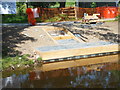
Progress with canoe steps 3
The contractors have now started to fill in the steps with machine cut slate.
Image]
Image: © John Haynes
Taken: 2 Jun 2016
0.02 miles
2
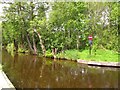
No entry for boats
This sign is just beyond the marina Image which is at the western end of the stretch of the Llangollen canal open to motor boats. Only the horse drawn barges go beyond here.
Image: © Stephen Craven
Taken: 21 May 2017
0.02 miles
3
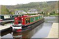
Llangollen Marina
The navigable limit for the Llangollen Canal is this marina which provides visitor moorings for the many boats that come to the town each year. It is about 45 miles from the other end of the canal at Hurleston Junction. In the foreground is 'Winter Wren', a hire boat from Wrenbury Mill.
Image: © Stephen McKay
Taken: 5 Apr 2017
0.02 miles
5
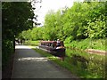
Canal just west of Llangollen
This is the stretch of the Llangollen Canal between the town centre and the marina.
Image: © Stephen Craven
Taken: 21 May 2017
0.03 miles
6
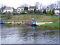
Llangollen Moorings
These were expanded in 2005. the houses are on Dinbren Road
Image: © PAUL FARMER
Taken: 6 Apr 2009
0.03 miles
7
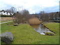
Pond and reed bed
When the nearby mooring basin was developed this pond, trees and reed bed was constructed on what was the shuttering area. Nature, with a bit of hand from man, is wonderful!
Image]
Image: © John Haynes
Taken: 17 Mar 2013
0.03 miles
8
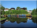
Llangollen canal marina
These moorings are at the western end of the stretch of the Llangollen canal open to motor boats. Only the horse drawn barges go beyond here. Compare Image taken two days earlier - what a difference the sunshine makes to a photograph!
Image: © Stephen Craven
Taken: 23 May 2017
0.03 miles
9
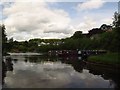
Llangollen canal marina
These moorings are at the western end of the stretch of the Llangollen canal open to motor boats. Only the horse drawn barges go beyond here.
Image: © Stephen Craven
Taken: 21 May 2017
0.04 miles
10

Mooring basin construction
During the winter of 2003/4 the Shropshire Union Canal (Llangollen Branch) in the area of Llangollen Wharf was upgraded to a concrete trough and a new mooring basin was built in the winding hole. This was the site on February 28th., the canal was reopened by Easter that year, and the mooring basin completed in late spring.
Image]
Image: © John Haynes
Taken: 28 Feb 2004
0.04 miles