
IMAGES TAKEN NEAR TO
South Avenue, PRESTATYN, LL19 8TG
Introduction
This page details the photographs taken nearby to South Avenue, LL19 8TG by members of the Geograph project.
The Geograph project started in 2005 with the aim of publishing, organising and preserving representative images for every square kilometre of Great Britain, Ireland and the Isle of Man.

There are currently over 7.5m images from over14,400 individuals and you can help contribute to the project by visiting https://www.geograph.org.uk
Image Map
Images are licensed for reuse under creativecommons.org/licenses/by-sa/2.0
Notes
- Clicking on the map will re-center to the selected point.
- The higher the marker number, the further away the image location is from the centre of the postcode.
Image Listing (10 Images Found)
Images are licensed for reuse under creativecommons.org/licenses/by-sa/2.0
Image
Details
Distance
1
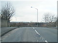
Fforddisa on bridge over long disused Meliden branch line
Image: © Colin Pyle
Taken: 2 Apr 2013
0.07 miles
2
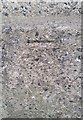
Ordnance Survey Cut Mark
This OS cut mark can be found on the south parapet of the railway bridge on Fforddish. It marks a point 22.510m above mean sea level.
Image: © Adrian Dust
Taken: 15 Sep 2019
0.08 miles
3
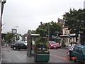
Prestatyn High Street
On a rainy July summer's day - Prestatyn High Street
Image: © Dot Potter
Taken: 28 Jul 2005
0.12 miles
4
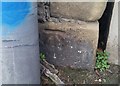
Ordnance Survey Cut Mark
This OS cut mark can be found on the wall east side of the road. It marks a point 22.970m above mean sea level.
Image: © Adrian Dust
Taken: 15 Sep 2019
0.16 miles
5
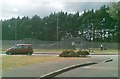
Play area off Nursery Close, Prestatyn
Image: © Alex McGregor
Taken: 5 Jun 2011
0.17 miles
6
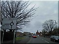
Roundabout ahead on Meliden Road, Prestatyn, Clwyd
Image: © Steve Fareham
Taken: 13 Apr 2014
0.17 miles
7
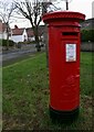
Blwch Post Sioraidd / Georgian Post Box
Image: © Ceri Thomas
Taken: 30 Dec 2024
0.19 miles
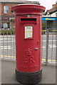
9
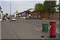
Meliden Road, Prestatyn
A closer view of the postbox can be seen here: Image
Image: © Mark Anderson
Taken: 5 Jun 2013
0.23 miles
10
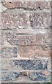
Ordnance Survey Cut Mark
This OS cut mark can be found on the old County Garage Building which is now a coffee bar. It marks a point 22.887m above mean sea level.
Image: © Adrian Dust
Taken: 15 Sep 2019
0.24 miles