
IMAGES TAKEN NEAR TO
Molineaux Road, RHYL, LL18 3UA
Introduction
This page details the photographs taken nearby to Molineaux Road, LL18 3UA by members of the Geograph project.
The Geograph project started in 2005 with the aim of publishing, organising and preserving representative images for every square kilometre of Great Britain, Ireland and the Isle of Man.

There are currently over 7.5m images from over14,400 individuals and you can help contribute to the project by visiting https://www.geograph.org.uk
Image Map
Images are licensed for reuse under creativecommons.org/licenses/by-sa/2.0
Notes
- Clicking on the map will re-center to the selected point.
- The higher the marker number, the further away the image location is from the centre of the postcode.
Image Listing (45 Images Found)
Images are licensed for reuse under creativecommons.org/licenses/by-sa/2.0
Image
Details
Distance
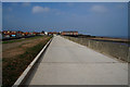
2
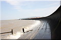
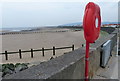
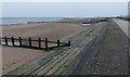
Sea Wall at Rhyl
Sea defence wall on the eastern edge of Rhyl looking towards Ffrith Beach.
Image: © Jeff Buck
Taken: 9 May 2016
0.07 miles
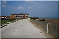
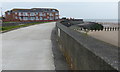

8
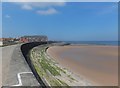
Promenade and sea wall in Rhyl
Looking west along the eastern end of Rhyl promenade which is also the Wales Coast Path and Cycle Route 5.
Image: © John Haynes
Taken: 5 Jun 2013
0.11 miles
9
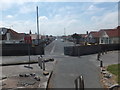
Garford Road, Rhyl
Some of the very popular pre 1940's bungalows to the east of the older Victorian part of Rhyl.
Image: © John Haynes
Taken: 5 Jun 2013
0.12 miles
10
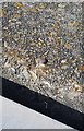
Ordnance Survey Rivet
This OS rivet can be found on the sea wall. It marks a point 7.343m above mean sea level.
Image: © Adrian Dust
Taken: 13 Sep 2019
0.13 miles