IMAGES TAKEN NEAR TO
Hinckley Road, LEICESTER, LE9 4LH
Introduction
This page details the photographs taken nearby to Hinckley Road, LE9 4LH by members of the Geograph project.
The Geograph project started in 2005 with the aim of publishing, organising and preserving representative images for every square kilometre of Great Britain, Ireland and the Isle of Man.

There are currently over 7.5m images from over14,400 individuals and you can help contribute to the project by visiting https://www.geograph.org.uk
Image Map
Images are licensed for reuse under creativecommons.org/licenses/by-sa/2.0
Notes
- Clicking on the map will re-center to the selected point.
- The higher the marker number, the further away the image location is from the centre of the postcode.
Image Listing (22 Images Found)
Images are licensed for reuse under creativecommons.org/licenses/by-sa/2.0
Image
Details
Distance
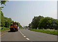
2
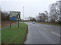
The approach to the M69
The road from Hinckley on its approach to the M69 east of the town.
Image: © Peter Mackenzie
Taken: 25 May 2018
0.06 miles
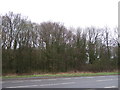
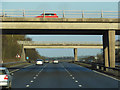
3
Hinckley Road at Junction 2 of the M69
Image: © Mat Fascione
Taken: 28 Aug 2008
0.07 miles
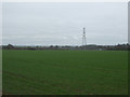
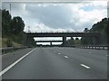
4
Hinckley Road (B4669)
Approaching Junction 2, M69 Motorway.
Image: © JThomas
Taken: 25 Feb 2017
0.07 miles