IMAGES TAKEN NEAR TO
The Huntings, LEICESTER, LE9 2BX
Introduction
This page details the photographs taken nearby to The Huntings, LE9 2BX by members of the Geograph project.
The Geograph project started in 2005 with the aim of publishing, organising and preserving representative images for every square kilometre of Great Britain, Ireland and the Isle of Man.

There are currently over 7.5m images from over14,400 individuals and you can help contribute to the project by visiting https://www.geograph.org.uk
Image Map
Images are licensed for reuse under creativecommons.org/licenses/by-sa/2.0
Notes
- Clicking on the map will re-center to the selected point.
- The higher the marker number, the further away the image location is from the centre of the postcode.
Image Listing (18 Images Found)
Images are licensed for reuse under creativecommons.org/licenses/by-sa/2.0
Image
Details
Distance
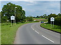
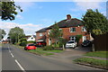
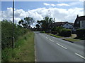
3
Fox Lane, Kirby Muxloe
This narrow lane leads to Main Street.
Image: © Kate Jewell
Taken: 10 Aug 2006
0.10 miles
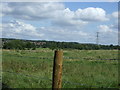
4
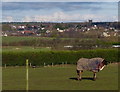
Horse at the Thorneyfields Livery
With a backdrop of Ratby village.
Image: © Mat Fascione
Taken: 19 Jan 2014
0.10 miles
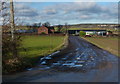
6
Laying fibre optic cable, Hedgerow Lane, Kirby Muxloe
Image: © Tim Heaton
Taken: 31 Aug 2023
0.12 miles