IMAGES TAKEN NEAR TO
Benscliffe Road, MARKFIELD, LE67 9PZ
Introduction
This page details the photographs taken nearby to Benscliffe Road, LE67 9PZ by members of the Geograph project.
The Geograph project started in 2005 with the aim of publishing, organising and preserving representative images for every square kilometre of Great Britain, Ireland and the Isle of Man.

There are currently over 7.5m images from over14,400 individuals and you can help contribute to the project by visiting https://www.geograph.org.uk
Image Map
Images are licensed for reuse under creativecommons.org/licenses/by-sa/2.0
Notes
- Clicking on the map will re-center to the selected point.
- The higher the marker number, the further away the image location is from the centre of the postcode.
Image Listing (17 Images Found)
Images are licensed for reuse under creativecommons.org/licenses/by-sa/2.0
Image
Details
Distance
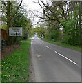
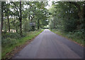
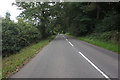
5
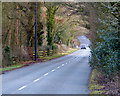
B5330 descending towards Benscliffe Crossroads
Image: © Mat Fascione
Taken: 1 Jan 2013
0.12 miles
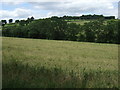

8
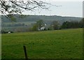
Farmland near Priory Lane
The two radio masts are near Copt Oak.
Image: © Mat Fascione
Taken: 22 Apr 2007
0.15 miles