IMAGES TAKEN NEAR TO
Gipsy Lane, LEICESTER, LE4 7DA
Introduction
This page details the photographs taken nearby to Gipsy Lane, LE4 7DA by members of the Geograph project.
The Geograph project started in 2005 with the aim of publishing, organising and preserving representative images for every square kilometre of Great Britain, Ireland and the Isle of Man.

There are currently over 7.5m images from over14,400 individuals and you can help contribute to the project by visiting https://www.geograph.org.uk
Image Map (Loading...)


Getting Data...Please wait
Leaflet Map data © OpenStreetMap
Images are licensed for reuse under creativecommons.org/licenses/by-sa/2.0
Notes
- Clicking on the map will re-center to the selected point.
- The higher the marker number, the further away the image location is from the centre of the postcode.
Image Listing (14 Images Found)
Images are licensed for reuse under creativecommons.org/licenses/by-sa/2.0
Image
Details
Distance
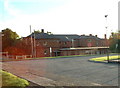
3

Select Windows on Victoria Road East, Humberstone
Image: © David Howard
Taken: 20 Sep 2020
0.16 miles
7
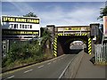
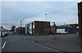
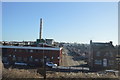
Bridge SPC5/17 carries the Midland main line across Gipsy Lane
Image: © Tim Glover
Taken: 23 Aug 2016
0.19 miles
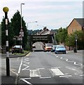
9
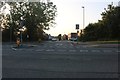
Victoria Road East at the junction of Fairfax Road
Image: © David Howard
Taken: 20 Sep 2020
0.23 miles