IMAGES TAKEN NEAR TO
Holywell Road, OAKHAM, LE15 7SQ
Introduction
This page details the photographs taken nearby to Holywell Road, LE15 7SQ by members of the Geograph project.
The Geograph project started in 2005 with the aim of publishing, organising and preserving representative images for every square kilometre of Great Britain, Ireland and the Isle of Man.

There are currently over 7.5m images from over14,400 individuals and you can help contribute to the project by visiting https://www.geograph.org.uk
Image Map (Loading...)


Getting Data...Please wait
Leaflet Map data © OpenStreetMap
Images are licensed for reuse under creativecommons.org/licenses/by-sa/2.0
Notes
- Clicking on the map will re-center to the selected point.
- The higher the marker number, the further away the image location is from the centre of the postcode.
Image Listing (14 Images Found)
Images are licensed for reuse under creativecommons.org/licenses/by-sa/2.0
Image
Details
Distance
1
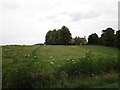
Public footpath along the county boundary
North of Holywell Lane.
Image: © Christine Johnstone
Taken: 15 Oct 2010
0.01 miles
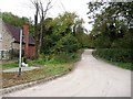
2
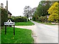
Rutland county boundary
On Holywell Road, near Robinson's Farm.
Image: © Christine Johnstone
Taken: 15 Oct 2010
0.02 miles
3
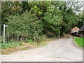
Public footpath along a track
North of Holywell Road.
Image: © Christine Johnstone
Taken: 15 Oct 2010
0.03 miles
4
Public bridleway along the county boundary
South of Holywell Road.
Image: © Christine Johnstone
Taken: 15 Oct 2010
0.04 miles
5
Bridleway from Pickworth
Follows the Rutland/Lincolnshire county boundary.
Image: © Jonathan Thacker
Taken: 10 Sep 2019
0.04 miles
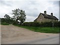
6
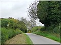
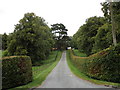
Holywell Road
From the entrance to New Quarry House.
Image: © Christine Johnstone
Taken: 15 Oct 2010
0.09 miles
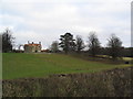
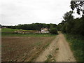
7
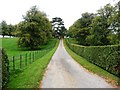
Drive to New Quarry House
North off the Holywell Road.
Image: © Christine Johnstone
Taken: 15 Oct 2010
0.13 miles